Medium airport · Timor-Leste
Baucau AirportWPEC
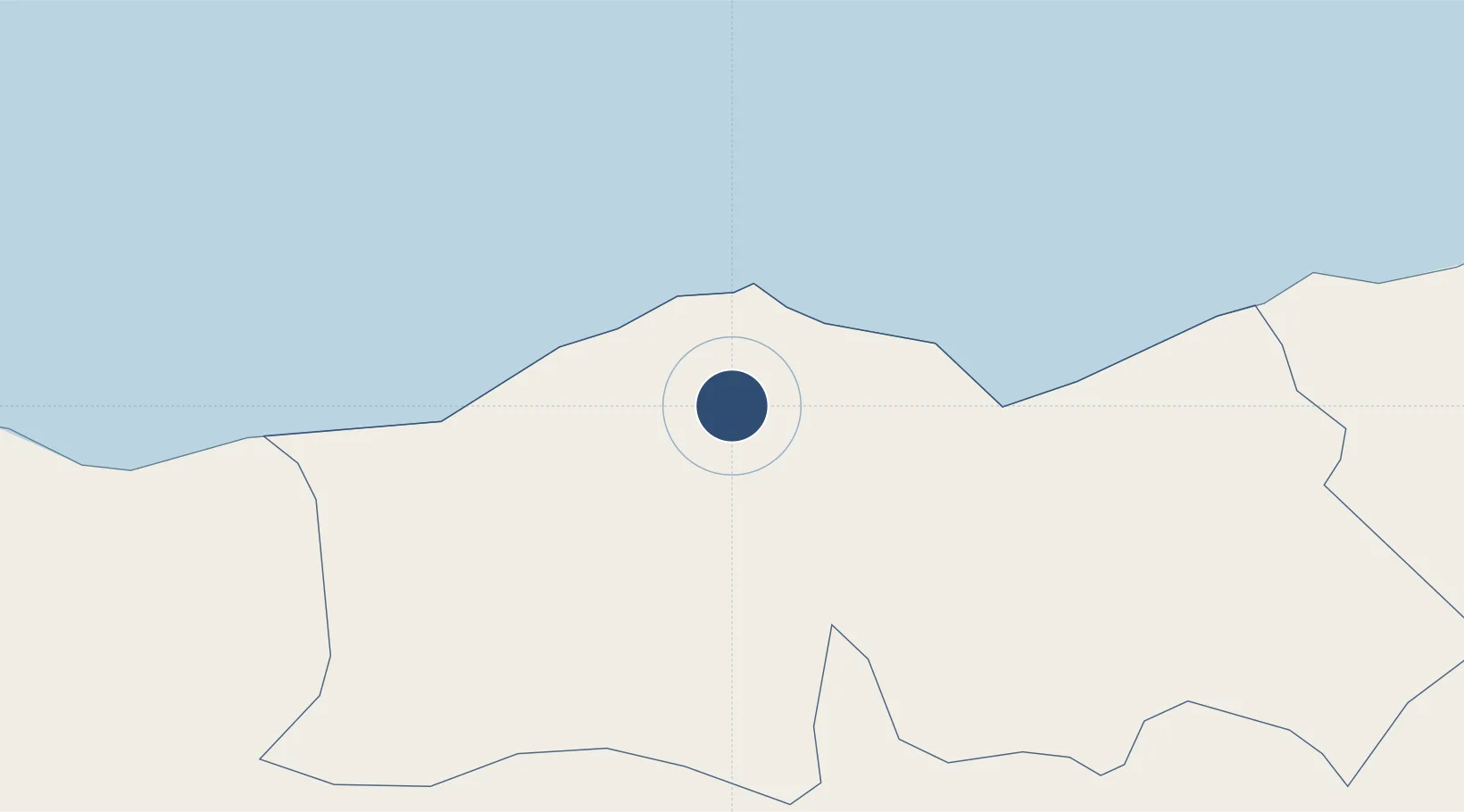
-8.4865°, 126.4000°
8,233 ft
Longest runway
1
Runways
1,771 ft
Elevation
Runway & Layout

Radio Frequencies
CTAF
123.45 MHz
E TIMOR COMMON HIGH
INFO
127.1 MHz
E TIMOR COMMON LOW
Runways · 1
| Runway | Dimensions | Surface | True heading | Lit |
|---|---|---|---|---|
| 14/32 | 8,233 × 182ft | Asphalt | 142° | ✓ |
Airport Specifications
IATA code
BCH
ICAO code
WPEC
Airport class
Medium airport
Scheduled service
Yes
Runway surface
Asphalt
Served city
Baucau
Location
Nearby Logistics Neighbours
Airports
Cities
- 1Dili92 km
- 2Kalabahi209 km
- 3Kupang, Timor368 km
- 4Challis Venture (oil Terminal)431 km
- 5Wamsasi548 km
DatabookThe Record of Consolidated Knowledge
Timor-Leste beyond logistics?