Runway & Layout
Airport Specifications
Airport class
Medium airport
Scheduled service
No
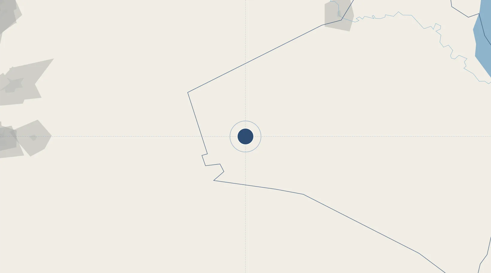
Location
Nearby Logistics Neighbours
Airports
- 1H3 Air Base25 km
- 2H3 Northwest AFB37 km
- 3Ruwayshid Air Base58 km
- 4H2 Air Base115 km
- 5Turaif Domestic Airport143 km
Cities
- 1Arkhangelsk225 km
- 2Al Asad288 km
- 3Khan al Baghdadi300 km
- 4Zarka Free Zone337 km
- 5Beit Shean Jordan Cargo Terminal343 km
Ports
- 1Tarabulus397 km
- 2Bayrut402 km
- 3Selaata404 km
- 4Sayda405 km
- 5Sidon/zahrani Terminal408 km
Trade Zones
- 1Waad Al-Shamal Industial City117 km
- 2Arar Industrial City239 km
- 3Adra Free Zone297 km
- 4Damascus International Airport Free Zone297 km
- 5Daraa Free Zone317 km
DatabookThe Record of Consolidated Knowledge
Iraq beyond logistics?