Runway & Layout

Airport Specifications
Airport class
Medium airport
Scheduled service
No
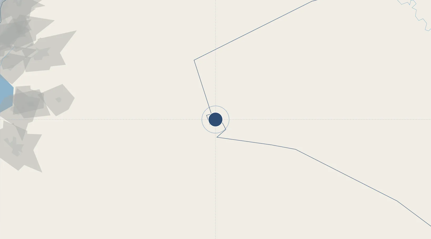
Location
Nearby Logistics Neighbours
Airports
- 1H3 Southwest Air Base58 km
- 2H3 Air Base82 km
- 3H3 Northwest AFB87 km
- 4Turaif Domestic Airport88 km
- 5H2 Air Base173 km
Cities
- 1Arkhangelsk278 km
- 2Zarka Free Zone287 km
- 3Beit Shean Jordan Cargo Terminal302 km
- 4Abu Alandah303 km
- 5Beit Shean Jordan Meshakef304 km
Ports
- 1Sayda373 km
- 2Bayrut376 km
- 3Sidon/zahrani Terminal377 km
- 4Tarabulus381 km
- 5Selaata384 km
Trade Zones
- 1Waad Al-Shamal Industial City67 km
- 2Arar Industrial City243 km
- 3Damascus International Airport Free Zone268 km
- 4Adra Free Zone272 km
- 5Daraa Free Zone272 km
DatabookThe Record of Consolidated Knowledge
Iraq beyond logistics?