UN/LOCODE hub · Israel
ILJCT

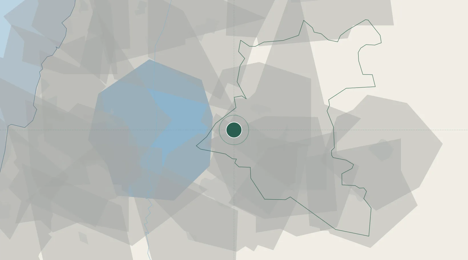
Beit Shean Jordan Cargo Terminal

32.8167°, 35.9333°
1
Transport functions

Transport Functions

Multimodal
UN/LOCODE

Hub Profile

Region
Z
GeoNames

Location

Location of ILJCT
Natural Earth 10m (public domain) · Z · ILJCT · 32.82, 35.93GoogleOSMYandex

Nearby Logistics Neighbours

Cities
  1. 1Beit Shean Jordan Meshakef2 km
  2. 2Beit Zera37 km
  3. 3Tiberias37 km
  4. 4Hazor41 km
  5. 5Newe Ur44 km
Nearest neighbours — logibook spatial index (haversine) over the source coordinates
Ports
  1. 1Haifa87 km
  2. 2Sayda93 km
  3. 3Sidon/zahrani Terminal98 km
  4. 4Hadera104 km
  5. 5Bayrut127 km
Nearest neighbours — logibook spatial index (haversine) over the source coordinates
Airports
  1. 1Rosh Pina Airport38 km
  2. 2Khalkhalah Air Base65 km
  3. 3Ramat David Air Base73 km
  4. 4Uri Michaeli Haifa International Airport83 km
  5. 5Damascus International Airport86 km
Nearest neighbours — logibook spatial index (haversine) over the source coordinates
Trade Zones
  1. 1Al-Hassan Industrial estate36 km
  2. 2Irbid Development Area36 km
  3. 3Daraa Free Zone44 km
  4. 4Ajloun Ajlun Development Zone56 km
  5. 5King Hussein bin Talal Development Zone59 km
Nearest neighbours — logibook spatial index (haversine) over the source coordinates
DatabookThe Record of Consolidated Knowledge
Israel beyond logistics?
Browse databook

All Sources

LocationsUN/LOCODE
UN/LOCODE — free
Portsthe NGA World Port Index
Public domain (US gov)
AirportsOurAirports
Public domain
Trade Zonesthe World Bank SEZ database
CC BY 4.0
Trade ZonesOpen Zone Map
CC BY
← Israel locations