UN/LOCODE hub · Jordan
JOZFZ

Zarka Free Zone

32.0833°, 36.1000°
1
Transport functions

Transport Functions

Multimodal
UN/LOCODE

Location

Location of JOZFZ
Natural Earth 10m (public domain) · Zarqa · JOZFZ · 32.08, 36.10GoogleOSMYandex

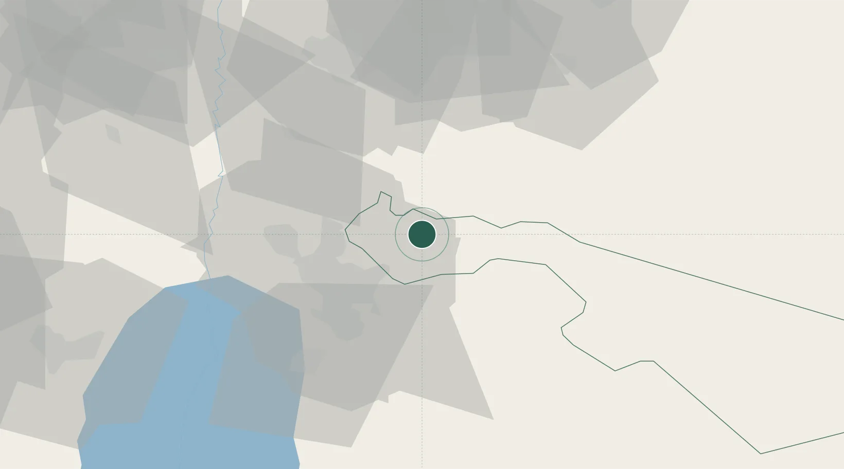
Nearby Logistics Neighbours

Cities
  1. 1Abu Alandah24 km
  2. 2Arava Terminal Zin67 km
  3. 3Beit Shean Rail Terminal73 km
  4. 4Yeruham73 km
  5. 5Newe Ur76 km
Nearest neighbours — logibook spatial index (haversine) over the source coordinates
Ports
  1. 1Hadera121 km
  2. 2Haifa132 km
  3. 3Ashdod140 km
  4. 4Ashqelon158 km
  5. 5Sayda172 km
Nearest neighbours — logibook spatial index (haversine) over the source coordinates
Airports
  1. 1Marka International (Amman Civil) Airport16 km
  2. 2Queen Alia International Airport41 km
  3. 3Muwaffaq Salti Air Base70 km
  4. 4Bar Yehuda Airfield108 km
  5. 5Ramat David Air Base108 km
Nearest neighbours — logibook spatial index (haversine) over the source coordinates
Trade Zones
  1. 1Zarqa Free Zone11 km
  2. 2Sahab Free Zone27 km
  3. 3Al Thuraya Development Zone27 km
  4. 4Abdullah II Ibn al-Hussein Industrial Estate28 km
  5. 5King Hussein Business Park28 km
Nearest neighbours — logibook spatial index (haversine) over the source coordinates
DatabookThe Record of Consolidated Knowledge
Jordan beyond logistics?
Browse databook

All Sources

LocationsUN/LOCODE
UN/LOCODE — free
Portsthe NGA World Port Index
Public domain (US gov)
AirportsOurAirports
Public domain
Trade Zonesthe World Bank SEZ database
CC BY 4.0
Trade ZonesOpen Zone Map
CC BY
← Jordan locations