Medium airport · Saudi Arabia
Turaif Domestic AirportOETR
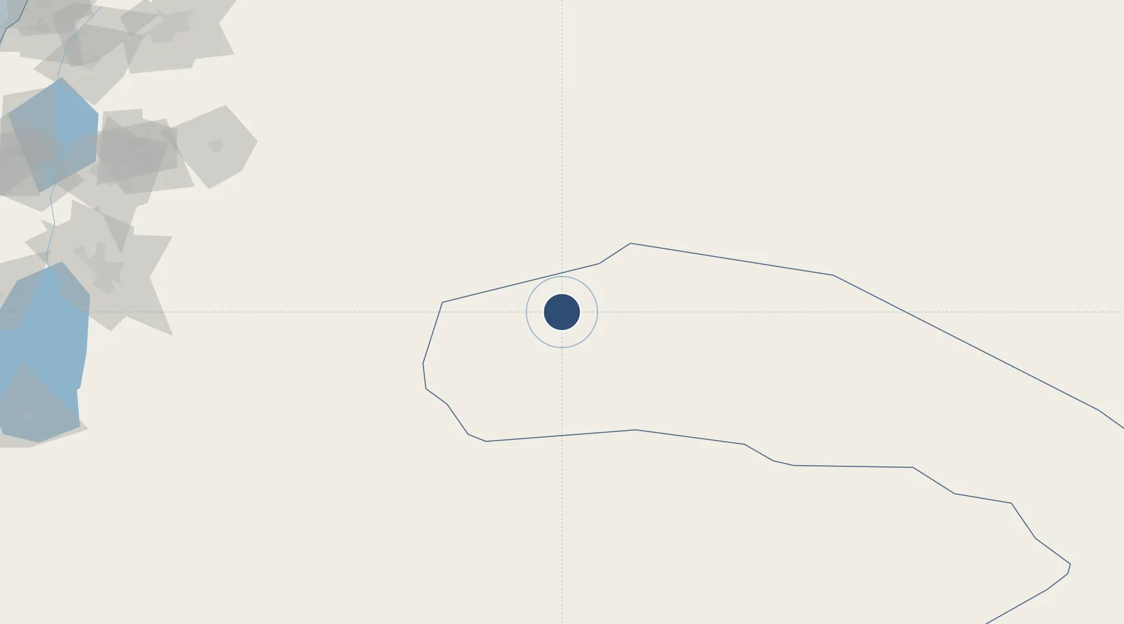
31.6922°, 38.7315°
9,843 ft
Longest runway
1
Runways
2,803 ft
Elevation
Runway & Layout

Radio Frequencies
CTAF
122.8 MHz
A/G
131.5 MHz
SAUDIA RDO
Navaids
TRF VOR-DME Turaif 116.10 MHz
Runways · 1
| Runway | Dimensions | Surface | True heading | Lit |
|---|---|---|---|---|
| 10/28 | 9,843 × 148ft | Asphalt | 105° | ✓ |
Airport Specifications
IATA code
TUI
ICAO code
OETR
Airport class
Medium airport
Scheduled service
Yes
Runway surface
Asphalt
Served city
Turaif
Location
Nearby Logistics Neighbours
Airports
- 1Ruwayshid Air Base88 km
- 2Gurayat Domestic Airport141 km
- 3H3 Southwest Air Base143 km
- 4H3 Air Base167 km
- 5H3 Northwest AFB174 km
Cities
- 1Zarka Free Zone252 km
- 2Abu Alandah262 km
- 3Beit Shean Jordan Cargo Terminal291 km
- 4Beit Shean Jordan Meshakef293 km
- 5Qir Moav293 km
Ports
- 1Hadera371 km
- 2Haifa373 km
- 3Sayda375 km
- 4Sidon/zahrani Terminal380 km
- 5Ashdod386 km
Trade Zones
- 1Waad Al-Shamal Industial City33 km
- 2Al-Muwaqar Industrial Estate237 km
- 3Arar Industrial City238 km
- 4Zarqa Free Zone241 km
- 5Al-Jouf Modon Oasis245 km
DatabookThe Record of Consolidated Knowledge
Saudi Arabia beyond logistics?