Free Trade Zone · Saudi Arabia
Arar Industrial City Active
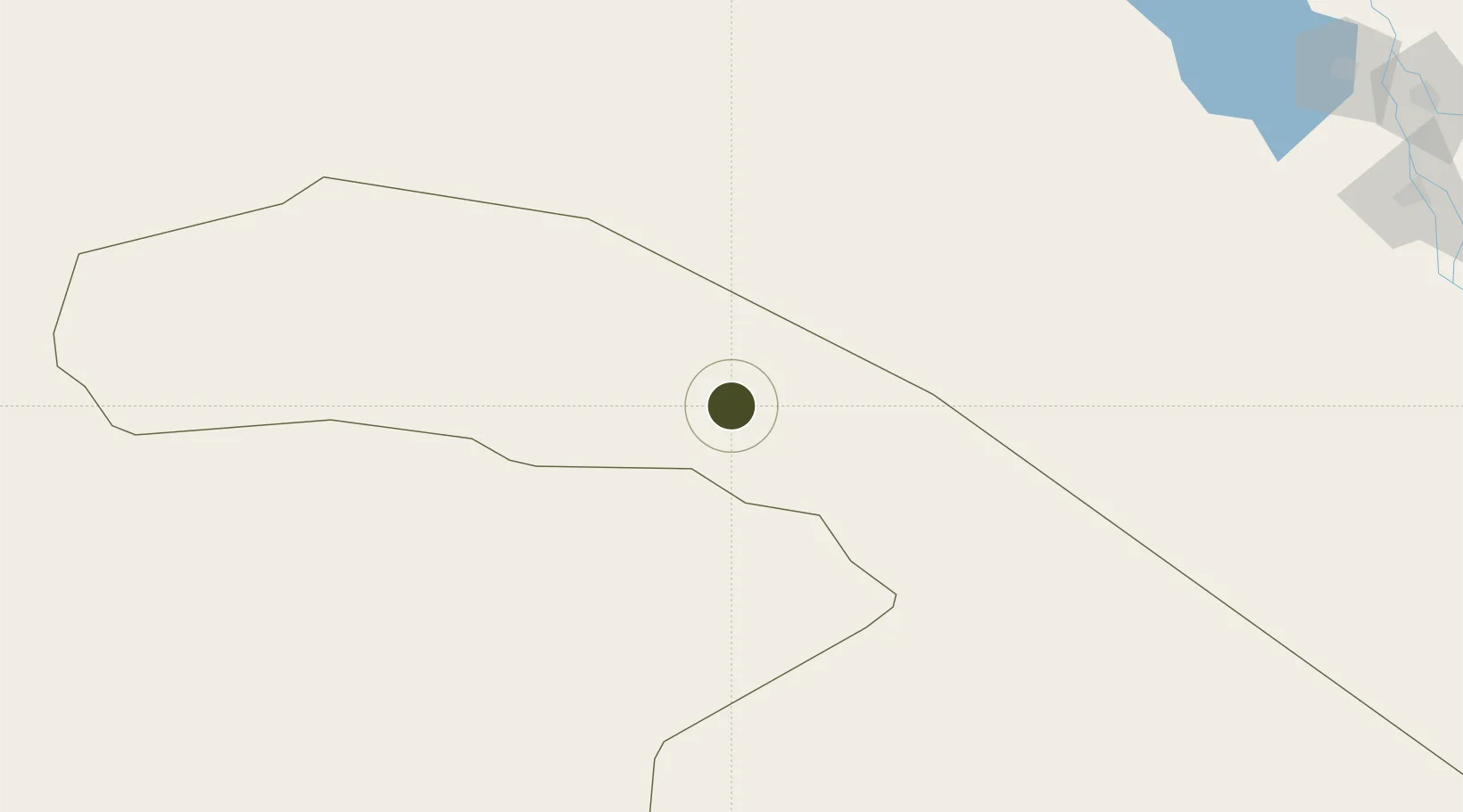
31.0248°, 41.1098°
200 ha
Zone area
607.4 km
Nearest port
13.4 km
Nearest airport
Gateway access
Zone profile
Zone type
Free Trade Zone
Region
Al Hudud ash Shamaliyah
Status
Active
Management
Public
Operator
Saudi Authority for Industrial Estates and Technology Zones
Legal framework
Ministerial Legislation No. 235 dated 27/8/1422H
Location
Nearby Logistics Neighbours
Ports
- 1Sayda607 km
- 2Hadera609 km
- 3Haifa610 km
- 4Al Aqabah610 km
- 5Sidon/zahrani Terminal612 km
Airports
- 1Arar Domestic Airport13 km
- 2Al-Jawf International Airport169 km
- 3Turaif Domestic Airport238 km
- 4H3 Southwest Air Base239 km
- 5Ruwayshid Air Base243 km
Cities
- 1Rota-Izmit Bay149 km
- 2Najaf321 km
- 3Al Asad331 km
- 4Khan al Baghdadi340 km
- 5Al Taqaddum347 km
Trade Zones
- 1Al-Jouf Modon Oasis176 km
- 2Waad Al-Shamal Industial City214 km
- 3Prince Abdulaziz Bin Mousaed Economic City383 km
- 4Hail Industrial City398 km
- 5Al-Muwaqar Industrial Estate470 km
DatabookThe Record of Consolidated Knowledge
Saudi Arabia beyond logistics?