Runway & Layout

Airport Specifications
Airport class
Medium airport
Scheduled service
No
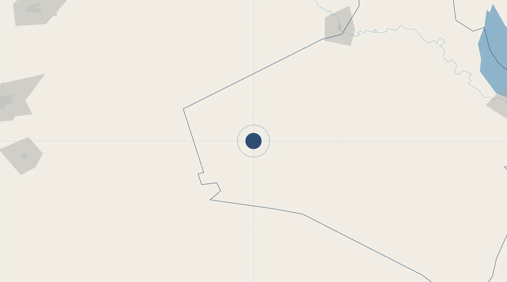
Location
Nearby Logistics Neighbours
Airports
- 1H3 Northwest AFB21 km
- 2H3 Southwest Air Base25 km
- 3Ruwayshid Air Base82 km
- 4H2 Air Base92 km
- 5Turaif Domestic Airport167 km
Cities
- 1Arkhangelsk201 km
- 2Al Asad267 km
- 3Khan al Baghdadi279 km
- 4Homs344 km
- 5'Ablah350 km
Ports
- 1Tarabulus399 km
- 2Selaata408 km
- 3Bayrut409 km
- 4Sayda414 km
- 5Sidon/zahrani Terminal417 km
Trade Zones
- 1Waad Al-Shamal Industial City141 km
- 2Arar Industrial City248 km
- 3Adra Free Zone304 km
- 4Damascus International Airport Free Zone306 km
- 5Damascus Free Zone329 km
DatabookThe Record of Consolidated Knowledge
Iraq beyond logistics?