Transport Functions
Multimodal
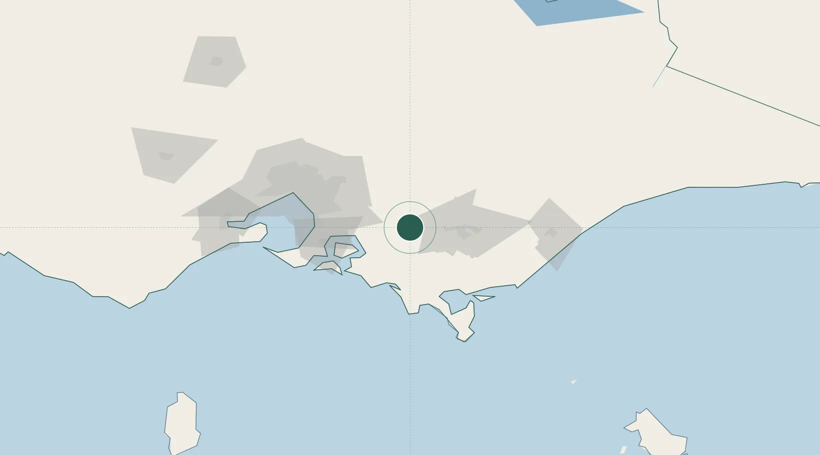
Hub Profile
Place type
Populated place
Region
Victoria
Population
19,856
Time zone
Australia/Melbourne
Elevation
135 m
Location
Nearby Logistics Neighbours
Cities
- 1Drouin8 km
- 2Moe29 km
- 3Berrys Creek30 km
- 4Hughesdale32 km
- 5Nar Nar Goon33 km
Ports
- 1Western Port64 km
- 2Welshpool75 km
- 3Melbourne93 km
- 4Geelong137 km
- 5Stanley294 km
Airports
- 1Latrobe Valley Airport47 km
- 2Melbourne Moorabbin Airport76 km
- 3West Sale Airport91 km
- 4Melbourne Essendon Airport103 km
- 5RAAF Base East Sale107 km
Trade Zones
DatabookThe Record of Consolidated Knowledge
Australia beyond logistics?