Foreign Trade Zone · United States
FTZ No. 133 Quad-Cities, Iowa Illinois Active
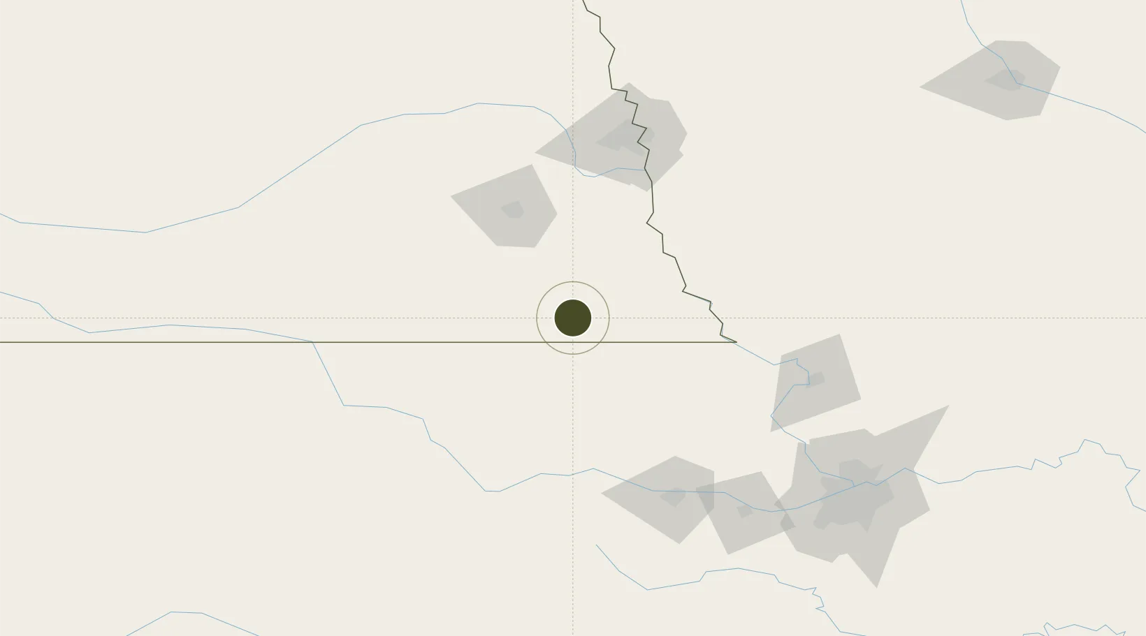
40.1489°, -96.3195°
782.6 km
Nearest port
85.9 km
Nearest airport
Gateway access
Zone profile
Zone type
Foreign Trade Zone
Region
Nebraska
Status
Active
Management
Public-Private Partnership
Operator
Quad-City Foreign-Trade Zone, Inc.
Legal framework
Foreign-Trade Zones Act
Location
Nearby Logistics Neighbours
Ports
- 1Port Of Memphis783 km
- 2Kaukauna806 km
- 3Superior808 km
- 4Duluth811 km
- 5Green Bay837 km
Airports
- 1Lincoln Airport86 km
- 2Offutt Air Force Base113 km
- 3Manhattan Regional Airport116 km
- 4Rosecrans Memorial Airport127 km
- 5Marshall Army Air Field128 km
Cities
- 1Holmesville29 km
- 2Seneca42 km
- 3Herkimer44 km
- 4Centralia51 km
- 5Sabetha52 km
Trade Zones
- 1FTZ No. 059 Lincoln84 km
- 2FTZ No. 017 Kansas City172 km
- 3FTZ No. 015 Kansas City190 km
- 4FTZ No. 107 Polk County277 km
- 5FTZ No. 161 Sedgwick County300 km
DatabookThe Record of Consolidated Knowledge
United States beyond logistics?