Medium airport · United States
Lincoln AirportKLNK
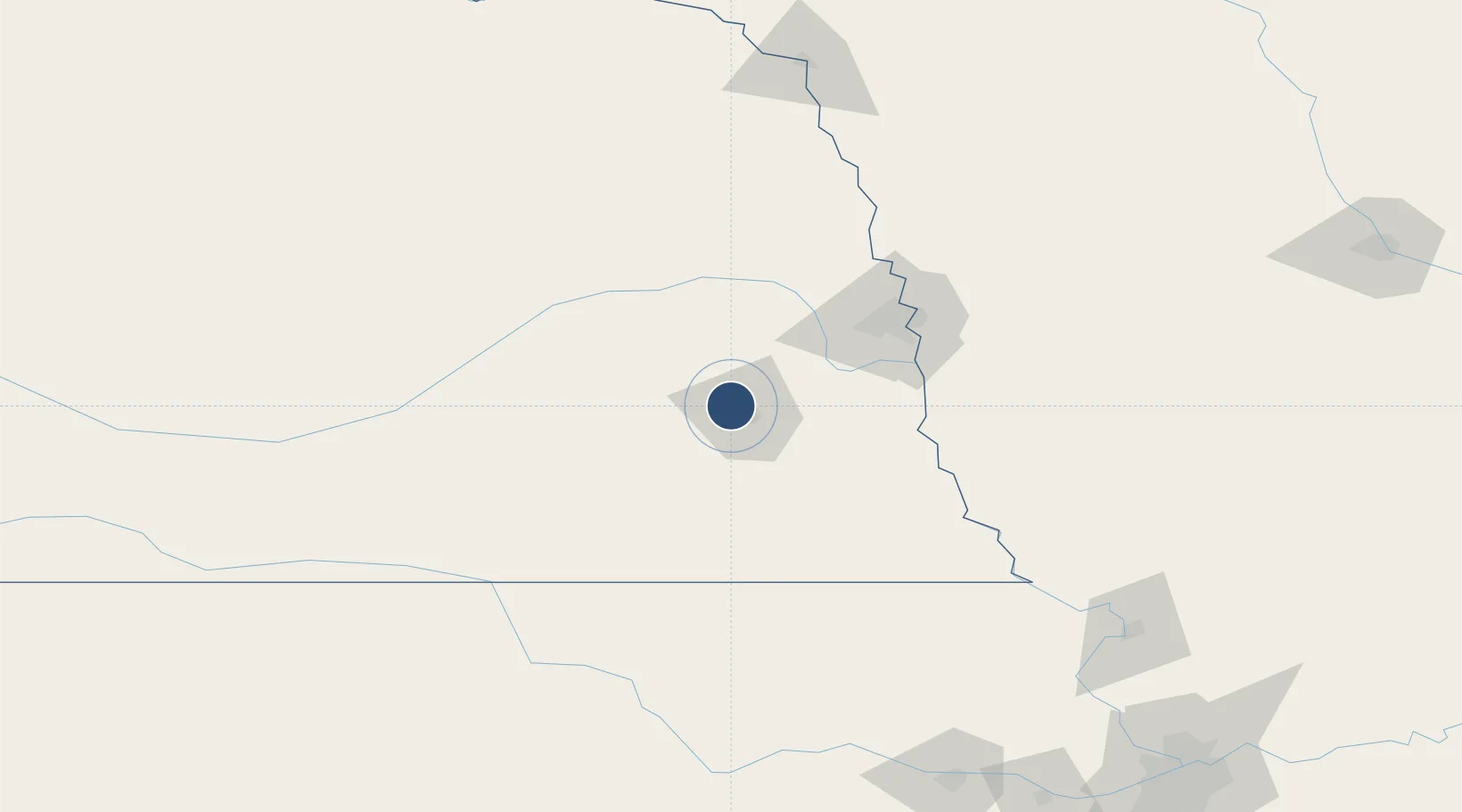
40.8449°, -96.7618°
12,901 ft
Longest runway
3
Runways
1,219 ft
Elevation
Runway & Layout

Radio Frequencies
ATIS
118.05 MHz
TWR
118.5 MHz
GND
121.9 MHz
CLD
120.7 MHz
CLNC DEL
CTAF
118.5 MHz
A/D
124 MHz
APP/DEP
MISC
123.075 MHz
ARNG OPS
OPS
25.96 MHz
ANG OPS
RDO
122.65 MHz
COLUMBUS RDO
UNIC
122.95 MHz
UNICOM
Navaids
LN NDB Potts 385 kHz
Runways · 3
| Runway | Dimensions | Surface | True heading | Lit |
|---|---|---|---|---|
| 18/36 | 12,901 × 200ft | Asphalt / concrete | 180° | ✓ |
| 14/32 | 8,649 × 150ft | Asphalt / concrete | 145° | ✓ |
| 17/35 | 5,801 × 100ft | Asphalt / concrete | 180° | ✓ |
Airport Specifications
IATA code
LNK
ICAO code
KLNK
Airport class
Medium airport
Scheduled service
Yes
Runway surface
Asphalt / concrete
Served city
Lincoln
Location
Nearby Logistics Neighbours
Airports
- 1Offutt Air Force Base78 km
- 2Columbus Municipal Airport83 km
- 3Eppley Airfield89 km
- 4Central Nebraska Regional Airport131 km
- 5Karl Stefan Memorial Airport139 km
Cities
- 1Ceresco25 km
- 2Valparaiso27 km
- 3Seward28 km
- 4Greenwood31 km
- 5Goehner38 km
Ports
- 1Superior755 km
- 2Duluth757 km
- 3Kaukauna793 km
- 4Ashland796 km
- 5Two Harbors799 km
Trade Zones
DatabookThe Record of Consolidated Knowledge
United States beyond logistics?