UN/LOCODE hub · United States
USZHQ
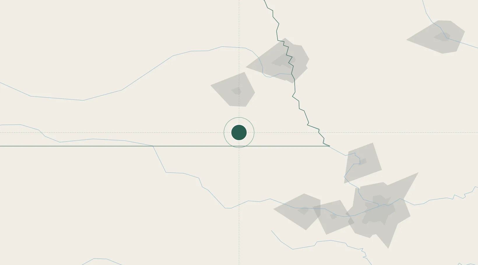
Holmesville
40.2000°, -96.6500°
51
Population
2
Transport functions
Transport Functions
Rail
Road
Hub Profile
Place type
Populated place
Region
Nebraska
Population
51
Time zone
America/Chicago
Elevation
385 m
Location
Nearby Logistics Neighbours
Cities
- 1De Witt30 km
- 2Herkimer36 km
- 3Wilber39 km
- 4Washington55 km
- 5Waterville58 km
Ports
- 1Port Of Memphis807 km
- 2Superior815 km
- 3Duluth817 km
- 4Kaukauna825 km
- 5Ashland851 km
Airports
- 1Lincoln Airport72 km
- 2Manhattan Regional Airport118 km
- 3Offutt Air Force Base120 km
- 4Marshall Army Air Field128 km
- 5Eppley Airfield138 km
Trade Zones
- 1FTZ No. 133 Quad-Cities, Iowa Illinois29 km
- 2FTZ No. 059 Lincoln69 km
- 3FTZ No. 017 Kansas City197 km
- 4FTZ No. 015 Kansas City213 km
- 5FTZ No. 161 Sedgwick County295 km
DatabookThe Record of Consolidated Knowledge
United States beyond logistics?