Channel & Berth Profile
Pilotage, Tugs & Services
Pilotage compulsoryYES
Tug assistanceYES
Shore powerYES
Potable waterYES
Diesel bunkersYES
MedicalYES
Facilities & Capabilities
Container—
Ro-Ro—
Liquid bulk—
Dry bulk—
Oil terminal—
Break bulk—
Dry dockNO
RepairsNO
BunkeringYES
Rail linkYES
Dangerous cargo—
ISPS security—
Harbour Specifications
Harbour size
Medium
Harbour type
Coastal (Breakwater)
Shelter
Excellent
Water body
Lake Superior; Great Lakes
Overhead limit
Yes
Pilotage
Yes
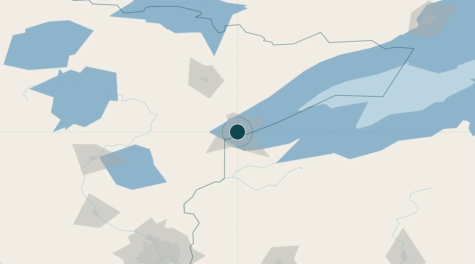
Location
Nearby Logistics Neighbours
Ports
- 1Superior5 km
- 2Two Harbors44 km
- 3Washburn93 km
- 4Ashland96 km
- 5Bayfield98 km
Cities
- 1Wrenshall27 km
- 2Carlton28 km
- 3Floodwood64 km
- 4Hoyt Lakes83 km
- 5Aurora84 km
Airports
- 1Duluth International Airport11 km
- 2Range Regional Airport89 km
- 3Sawyer County Airport97 km
- 4Ely Municipal Airport119 km
- 5Gogebic Iron County Airport153 km
Trade Zones
- 1FTZ No. 051 Duluth12 km
- 2FTZ No. 119 Minneapolis-St. Paul218 km
- 3FTZ No. 259 Koochiching County236 km
- 4FTZ No. 267 Fargo371 km
- 5FTZ No. 167 Brown County392 km
DatabookThe Record of Consolidated Knowledge
United States beyond logistics?