Runway & Layout

Radio Frequencies
ATIS
126.025 MHz
TWR
123.7 MHz
GND
121.7 MHz
A/D
118 MHz
OMAHA APP/DEP
PMSV
22.74 MHz
PMSV METRO
POST
31.1 MHz
COMD POST
PTD
37.94 MHz
Navaids
OFF TACAN Offutt 111.70 MHz
Airport Specifications
IATA code
OFF
ICAO code
KOFF
Airport class
Medium airport
Scheduled service
No
Served city
Omaha
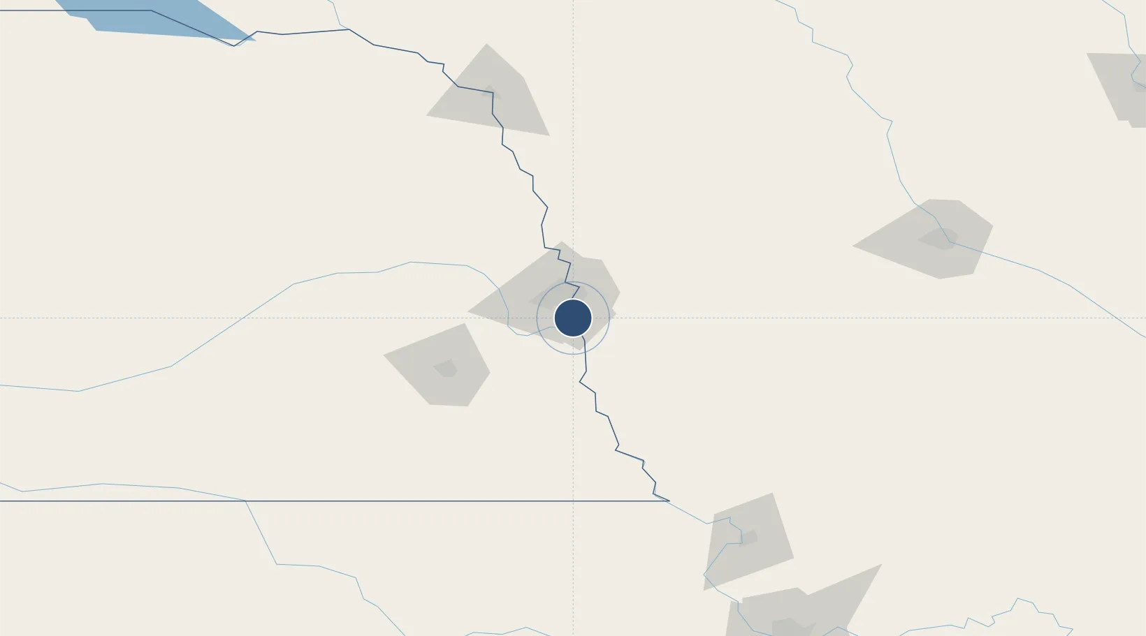
Location
Nearby Logistics Neighbours
Airports
Trade Zones
- 1FTZ No. 059 Lincoln85 km
- 2FTZ No. 133 Quad-Cities, Iowa Illinois113 km
- 3FTZ No. 107 Polk County193 km
- 4FTZ No. 288 Northwest Iowa228 km
- 5FTZ No. 017 Kansas City243 km
DatabookThe Record of Consolidated Knowledge
United States beyond logistics?