Transport Functions
Multimodal
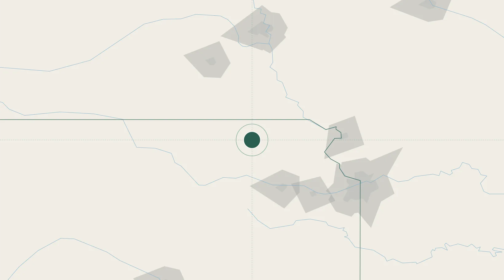
Hub Profile
Place type
Populated place
Region
Kansas
Population
509
Time zone
America/Chicago
Elevation
388 m
Location
Nearby Logistics Neighbours
Ports
- 1Port Of Memphis737 km
- 2Kaukauna823 km
- 3Superior846 km
- 4Duluth849 km
- 5Green Bay854 km
Airports
Trade Zones
- 1FTZ No. 133 Quad-Cities, Iowa Illinois51 km
- 2FTZ No. 017 Kansas City129 km
- 3FTZ No. 059 Lincoln135 km
- 4FTZ No. 015 Kansas City143 km
- 5FTZ No. 161 Sedgwick County266 km
DatabookThe Record of Consolidated Knowledge
United States beyond logistics?