Channel & Berth Profile
Pilotage, Tugs & Services
Pilotage compulsoryYES
Pilotage availableYES
Pilotage advisableYES
Tug assistanceYES
Shore powerYES
Potable waterYES
Diesel bunkersYES
MedicalYES
Garbage disposalYES
Facilities & Capabilities
ContainerNO
Ro-RoNO
Liquid bulkYES
Dry bulkYES
Oil terminalYES
Break bulkYES
Dry dock—
RepairsNO
BunkeringYES
Rail linkYES
Dangerous cargo—
ISPS security—
Harbour Specifications
Harbour size
Small
Harbour type
River (Natural)
Shelter
Good
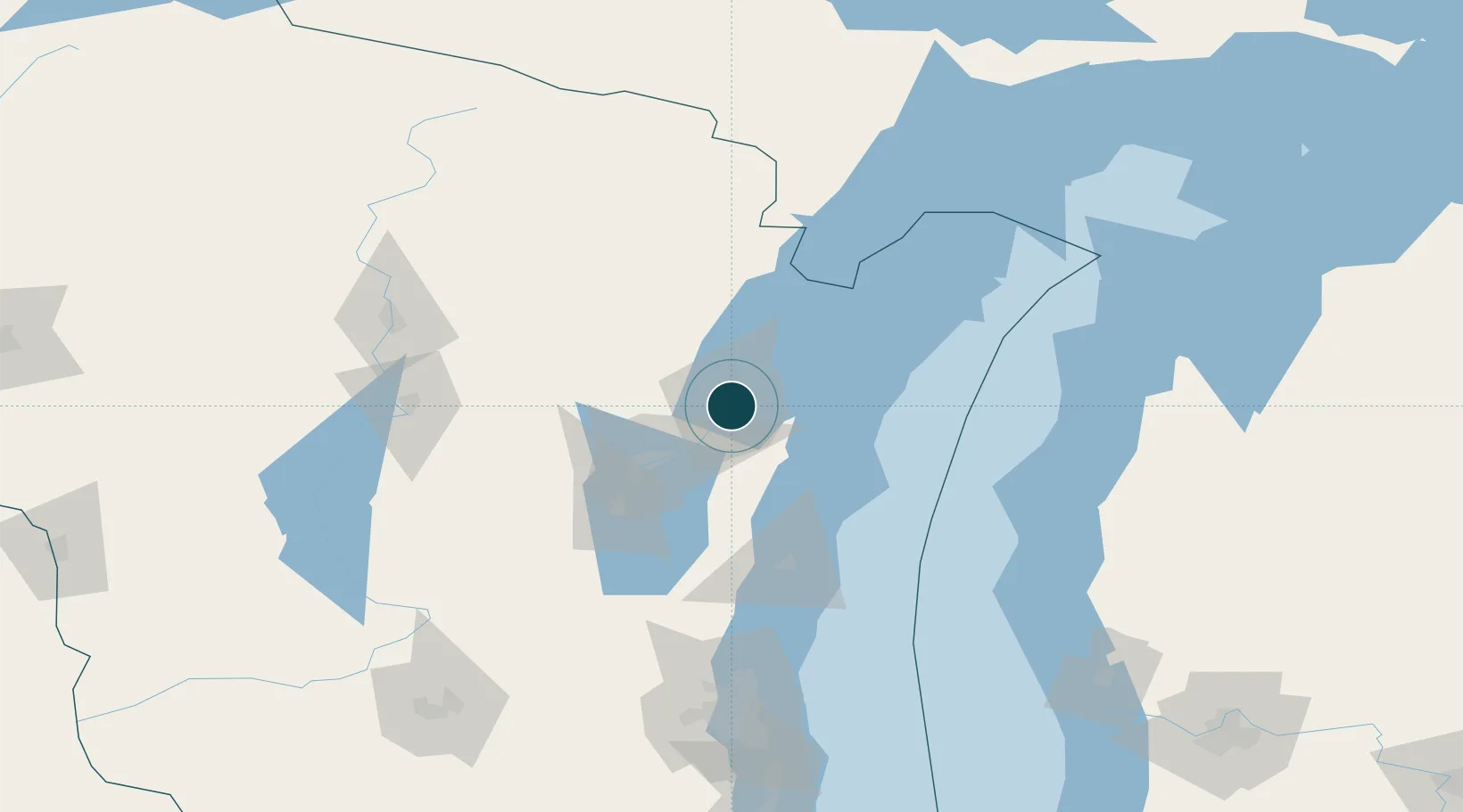
Water body
Lake Michigan; Great Lakes
Overhead limit
Yes
Pilotage
Yes
Location
Nearby Logistics Neighbours
Ports
- 1Kaukauna33 km
- 2Kewaunee41 km
- 3Oconto45 km
- 4Algoma47 km
- 5Two Rivers54 km
Cities
- 1Ashwaubenon8 km
- 2De Pere8 km
- 3New Franken16 km
- 4Wrightstown25 km
- 5Krakow33 km
Airports
Trade Zones
- 1FTZ No. 167 Brown County22 km
- 2FTZ No. 041 Milwaukee162 km
- 3FTZ No. 019 Omaha170 km
- 4FTZ No. 189 Kent Ottawa/Muskegon Counties198 km
- 5FTZ No. 266 Dane County210 km
DatabookThe Record of Consolidated Knowledge
United States beyond logistics?