Foreign Trade Zone · United States

FTZ No. 161 Sedgwick County Active
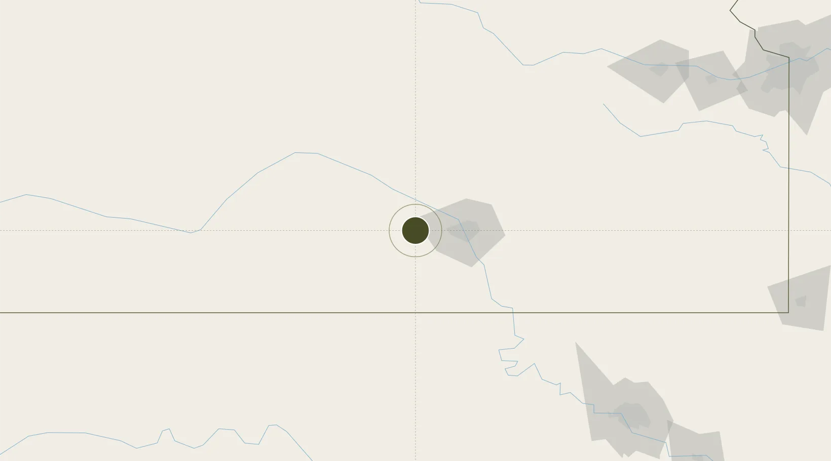
37.6931°, -97.7604°
739.6 km
Nearest port
29.6 km
Nearest airport

Gateway access

Nearest neighbours — logibook spatial index (haversine) over the source coordinates

Zone profile

Zone type
Foreign Trade Zone
Open Zone Map
Region
Kansas
Open Zone Map
Status
Active
Open Zone Map
Management
Public
Open Zone Map
Operator
Board of Commissioners of Sedgwick County
Open Zone Map
Legal framework
Foreign-Trade Zones Act
Open Zone Map

Location

Location of ozm-4872
Natural Earth 10m (public domain) · Kansas · ozm-4872 · 37.69, -97.76GoogleOSMYandex

Nearby Logistics Neighbours

Ports
  1. 1Port Of Memphis740 km
  2. 2Deer Park911 km
  3. 3Beaumont912 km
  4. 4Houston912 km
  5. 5Pasadena918 km
Nearest neighbours — logibook spatial index (haversine) over the source coordinates
Airports
  1. 1Wichita Dwight D. Eisenhower National Airport30 km
  2. 2Hutchinson Municipal Airport42 km
  3. 3McConnell Air Force Base44 km
  4. 4Ponca City Regional Airport122 km
  5. 5Salina Municipal Airport122 km
Nearest neighbours — logibook spatial index (haversine) over the source coordinates
Cities
  1. 1Cheney7 km
  2. 2Saint Marys11 km
  3. 3Goddard18 km
  4. 4Haven23 km
  5. 5Kingman31 km
Nearest neighbours — logibook spatial index (haversine) over the source coordinates
Trade Zones
  1. 1FTZ No. 053 Rogers County227 km
  2. 2FTZ No. 106 Oklahoma City248 km
  3. 3FTZ No. 015 Kansas City281 km
  4. 4FTZ No. 017 Kansas City297 km
  5. 5FTZ No. 133 Quad-Cities, Iowa Illinois300 km
Nearest neighbours — logibook spatial index (haversine) over the source coordinates
DatabookThe Record of Consolidated Knowledge
United States beyond logistics?
Browse databook

All Sources

Trade ZonesOpen Zone Map
CC BY
Portsthe NGA World Port Index
Public domain (US gov)
AirportsOurAirports
Public domain
LocationsUN/LOCODE
UN/LOCODE — free
← United States trade zones