Foreign Trade Zone · United States
FTZ No. 059 Lincoln Active
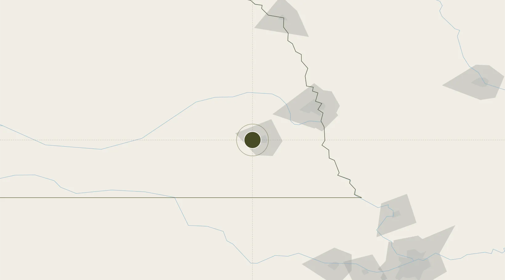
40.8005°, -96.8308°
762.2 km
Nearest port
7.6 km
Nearest airport
Gateway access
Zone profile
Zone type
Foreign Trade Zone
Region
Nebraska
Status
Active
Management
Public-Private Partnership
Operator
Lincoln Chamber of Commerce
Legal framework
Foreign-Trade Zones Act
Location
Nearby Logistics Neighbours
Ports
- 1Superior762 km
- 2Duluth764 km
- 3Kaukauna801 km
- 4Ashland803 km
- 5Two Harbors806 km
Airports
- 1Lincoln Airport8 km
- 2Columbus Municipal Airport84 km
- 3Offutt Air Force Base85 km
- 4Eppley Airfield96 km
- 5Central Nebraska Regional Airport126 km
Cities
- 1Seward24 km
- 2Valparaiso31 km
- 3Ceresco32 km
- 4Goehner33 km
- 5Greenwood38 km
Trade Zones
- 1FTZ No. 133 Quad-Cities, Iowa Illinois84 km
- 2FTZ No. 017 Kansas City254 km
- 3FTZ No. 288 Northwest Iowa270 km
- 4FTZ No. 015 Kansas City274 km
- 5FTZ No. 107 Polk County278 km
DatabookThe Record of Consolidated Knowledge
United States beyond logistics?