Foreign Trade Zone · United States

FTZ No. 017 Kansas City Active
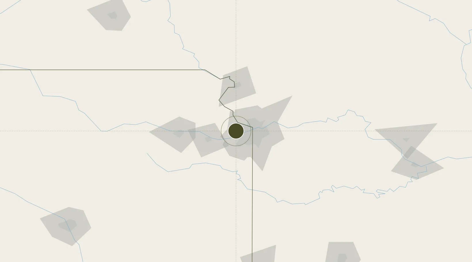
39.0916°, -94.8559°
610.8 km
Nearest port
23.0 km
Nearest airport

Gateway access

Nearest neighbours — logibook spatial index (haversine) over the source coordinates

Zone profile

Zone type
Foreign Trade Zone
Open Zone Map
Region
Kansas
Open Zone Map
Status
Active
Open Zone Map
Management
Public-Private Partnership
Open Zone Map
Operator
Greater Kansas City FTZ, Inc.
Open Zone Map
Legal framework
Foreign-Trade Zones Act
Open Zone Map

Location

Location of ozm-4975
Natural Earth 10m (public domain) · Kansas · ozm-4975 · 39.09, -94.86GoogleOSMYandex

Nearby Logistics Neighbours

Ports
  1. 1Port Of Memphis611 km
  2. 2Calumet Harbor687 km
  3. 3Chicago687 km
  4. 4Indiana Harbor691 km
  5. 5Wilmette691 km
Nearest neighbours — logibook spatial index (haversine) over the source coordinates
Airports
  1. 1Charles B. Wheeler Downtown Airport23 km
  2. 2Kansas City International Airport26 km
  3. 3Philip Billard Municipal Airport66 km
  4. 4Topeka Regional Airport72 km
  5. 5Rosecrans Memorial Airport76 km
Nearest neighbours — logibook spatial index (haversine) over the source coordinates
Cities
  1. 1Muncie11 km
  2. 2De Soto17 km
  3. 3Linwood18 km
  4. 4Parkville19 km
  5. 5Tonganoxie21 km
Nearest neighbours — logibook spatial index (haversine) over the source coordinates
Trade Zones
  1. 1FTZ No. 015 Kansas City28 km
  2. 2FTZ No. 133 Quad-Cities, Iowa Illinois172 km
  3. 3FTZ No. 059 Lincoln254 km
  4. 4FTZ No. 225 Springfield258 km
  5. 5FTZ No. 161 Sedgwick County297 km
Nearest neighbours — logibook spatial index (haversine) over the source coordinates
DatabookThe Record of Consolidated Knowledge
United States beyond logistics?
Browse databook

All Sources

Trade ZonesOpen Zone Map
CC BY
Portsthe NGA World Port Index
Public domain (US gov)
AirportsOurAirports
Public domain
LocationsUN/LOCODE
UN/LOCODE — free
← United States trade zones