Foreign Trade Zone · United States
FTZ No. 107 Polk County Active
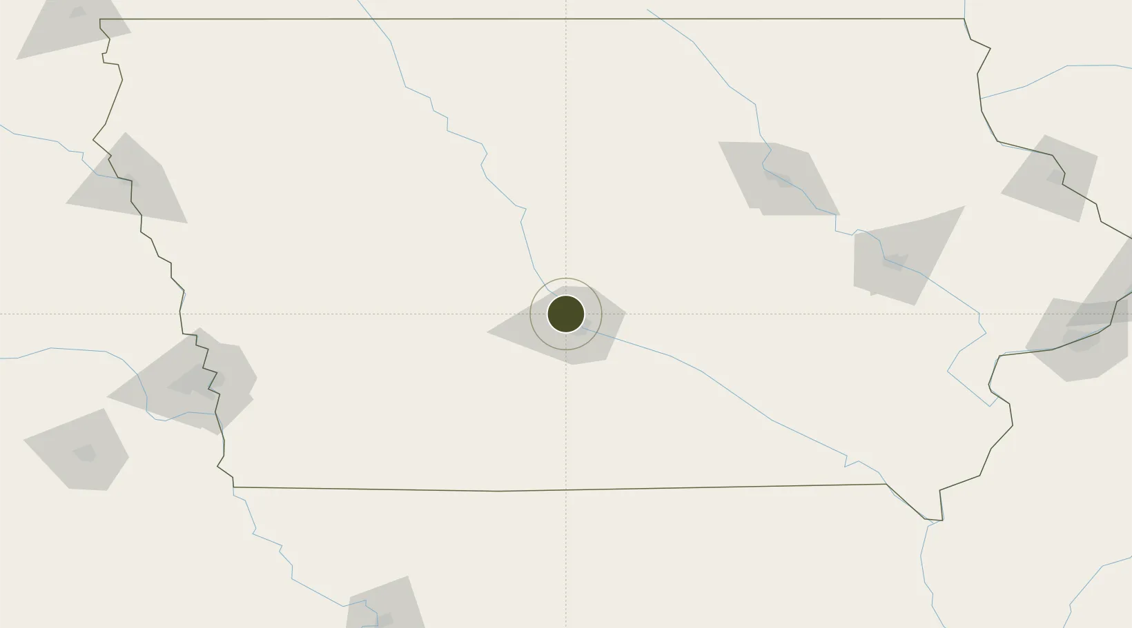
41.6725°, -93.7122°
490.8 km
Nearest port
16.1 km
Nearest airport
Gateway access
Zone profile
Zone type
Foreign Trade Zone
Region
Iowa
Status
Active
Management
Public-Private Partnership
Operator
The Iowa Foreign Trade Zone Corp.
Legal framework
Foreign-Trade Zones Act
Location
Nearby Logistics Neighbours
Ports
- 1Great Lakes491 km
- 2Waukegan493 km
- 3Kenosha497 km
- 4Wilmette501 km
- 5Milwaukee502 km
Airports
- 1Des Moines International Airport16 km
- 2Fort Dodge Regional Airport106 km
- 3Ottumwa Regional Airport123 km
- 4Waterloo Regional Airport146 km
- 5The Eastern Iowa Airport168 km
Cities
- 1Johnston3 km
- 2Clive8 km
- 3Des Moines11 km
- 4Pleasant Hill19 km
- 5Dallas Center20 km
Trade Zones
- 1FTZ No. 175 Cedar Rapids162 km
- 2FTZ No. 055 Burlington238 km
- 3FTZ No. 288 Northwest Iowa255 km
- 4FTZ No. 133 Quad-Cities, Iowa Illinois277 km
- 5FTZ No. 059 Lincoln278 km
DatabookThe Record of Consolidated Knowledge
United States beyond logistics?