Foreign Trade Zone · United States

FTZ No. 015 Kansas City Active
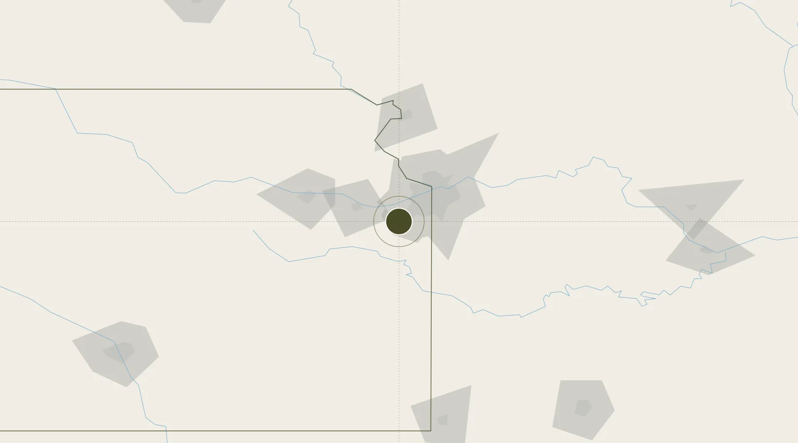
38.8388°, -94.8975°
593.7 km
Nearest port
41.1 km
Nearest airport

Gateway access

Nearest neighbours — logibook spatial index (haversine) over the source coordinates

Zone profile

Zone type
Foreign Trade Zone
Open Zone Map
Region
Kansas
Open Zone Map
Status
Active
Open Zone Map
Management
Public-Private Partnership
Open Zone Map
Operator
Greater Kansas City FTZ, Inc.
Open Zone Map
Legal framework
Foreign-Trade Zones Act
Open Zone Map

Location

Location of ozm-4976
Natural Earth 10m (public domain) · Kansas · ozm-4976 · 38.84, -94.90GoogleOSMYandex

Nearby Logistics Neighbours

Ports
  1. 1Port Of Memphis594 km
  2. 2Calumet Harbor704 km
  3. 3Chicago705 km
  4. 4Indiana Harbor707 km
  5. 5Wilmette709 km
Nearest neighbours — logibook spatial index (haversine) over the source coordinates
Airports
  1. 1Charles B. Wheeler Downtown Airport41 km
  2. 2Kansas City International Airport54 km
  3. 3Topeka Regional Airport68 km
  4. 4Philip Billard Municipal Airport68 km
  5. 5Rosecrans Memorial Airport104 km
Nearest neighbours — logibook spatial index (haversine) over the source coordinates
Cities
  1. 1New Century1 km
  2. 2De Soto15 km
  3. 3Linwood21 km
  4. 4Baldwin City26 km
  5. 5Dallas28 km
Nearest neighbours — logibook spatial index (haversine) over the source coordinates
Trade Zones
  1. 1FTZ No. 017 Kansas City28 km
  2. 2FTZ No. 133 Quad-Cities, Iowa Illinois190 km
  3. 3FTZ No. 225 Springfield238 km
  4. 4FTZ No. 059 Lincoln274 km
  5. 5FTZ No. 161 Sedgwick County281 km
Nearest neighbours — logibook spatial index (haversine) over the source coordinates
DatabookThe Record of Consolidated Knowledge
United States beyond logistics?
Browse databook

All Sources

Trade ZonesOpen Zone Map
CC BY
Portsthe NGA World Port Index
Public domain (US gov)
AirportsOurAirports
Public domain
LocationsUN/LOCODE
UN/LOCODE — free
← United States trade zones