Transport Functions
Port
Rail
Road
Multimodal
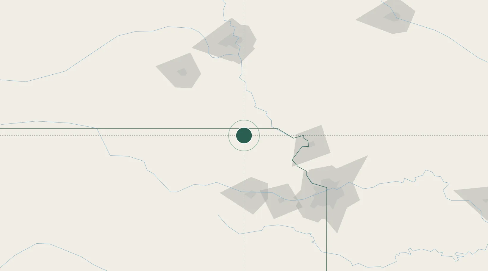
Hub Profile
Place type
Populated place
Region
Kansas
Population
2,585
Time zone
America/Chicago
Elevation
402 m
Location
Nearby Logistics Neighbours
Cities
- 1Seneca23 km
- 2Hiawatha23 km
- 3Falls City24 km
- 4Centralia34 km
- 5Holton49 km
Ports
- 1Great Lakes719 km
- 2Waukegan722 km
- 3Wilmette723 km
- 4Chicago723 km
- 5Calumet Harbor726 km
Airports
Trade Zones
- 1FTZ No. 133 Quad-Cities, Iowa Illinois52 km
- 2FTZ No. 017 Kansas City121 km
- 3FTZ No. 059 Lincoln133 km
- 4FTZ No. 015 Kansas City141 km
- 5FTZ No. 107 Polk County264 km
DatabookThe Record of Consolidated Knowledge
United States beyond logistics?