Medium airport · United States
Manhattan Regional AirportKMHK
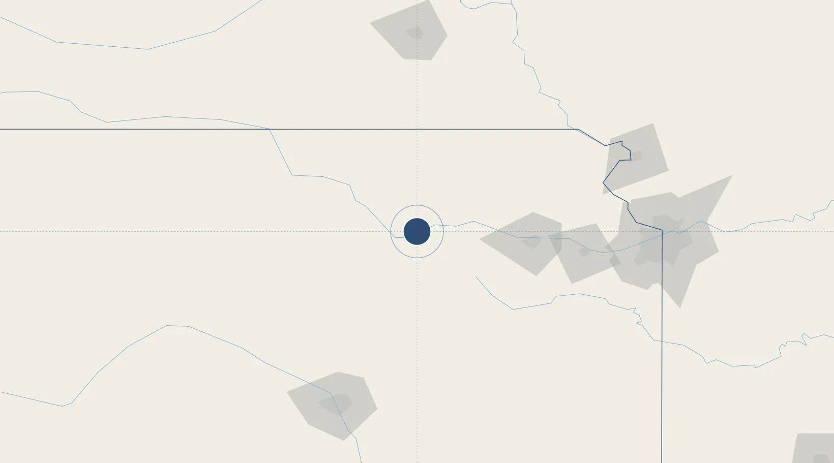
39.1410°, -96.6708°
7,400 ft
Longest runway
2
Runways
1,057 ft
Elevation
Runway & Layout

Radio Frequencies
ASOS
119.075 MHz
TWR
118.55 MHz
GND
121.85 MHz
CTAF
118.55 MHz
A/D
127.35 MHz
KANSAS CITY CNTR
RDO
122.65 MHz
WICHITA RDO
Navaids
MHK VOR-DME Manhattan 110.20 MHz
MQD NDB Mc Dowell Creek 391 kHz
Runways · 2
| Runway | Dimensions | Surface | True heading | Lit |
|---|---|---|---|---|
| 03/21 | 7,400 × 150ft | Concrete | 040° | ✓ |
| 13/31 | 5,001 × 75ft | Asphalt / concrete | 142° | ✓ |
Airport Specifications
IATA code
MHK
ICAO code
KMHK
Airport class
Medium airport
Scheduled service
Yes
Runway surface
Concrete
Served city
Manhattan
Location
Nearby Logistics Neighbours
Airports
Cities
- 1Riley20 km
- 2Chapman36 km
- 3Saint Marys52 km
- 4Council Grove55 km
- 5Waterville61 km
Ports
- 1Port Of Memphis733 km
- 2Kaukauna901 km
- 3Superior923 km
- 4Duluth926 km
- 5Green Bay933 km
Trade Zones
- 1FTZ No. 133 Quad-Cities, Iowa Illinois116 km
- 2FTZ No. 017 Kansas City157 km
- 3FTZ No. 015 Kansas City157 km
- 4FTZ No. 059 Lincoln185 km
- 5FTZ No. 161 Sedgwick County187 km
DatabookThe Record of Consolidated Knowledge
United States beyond logistics?