Medium airport · United States
Rosecrans Memorial AirportKSTJ
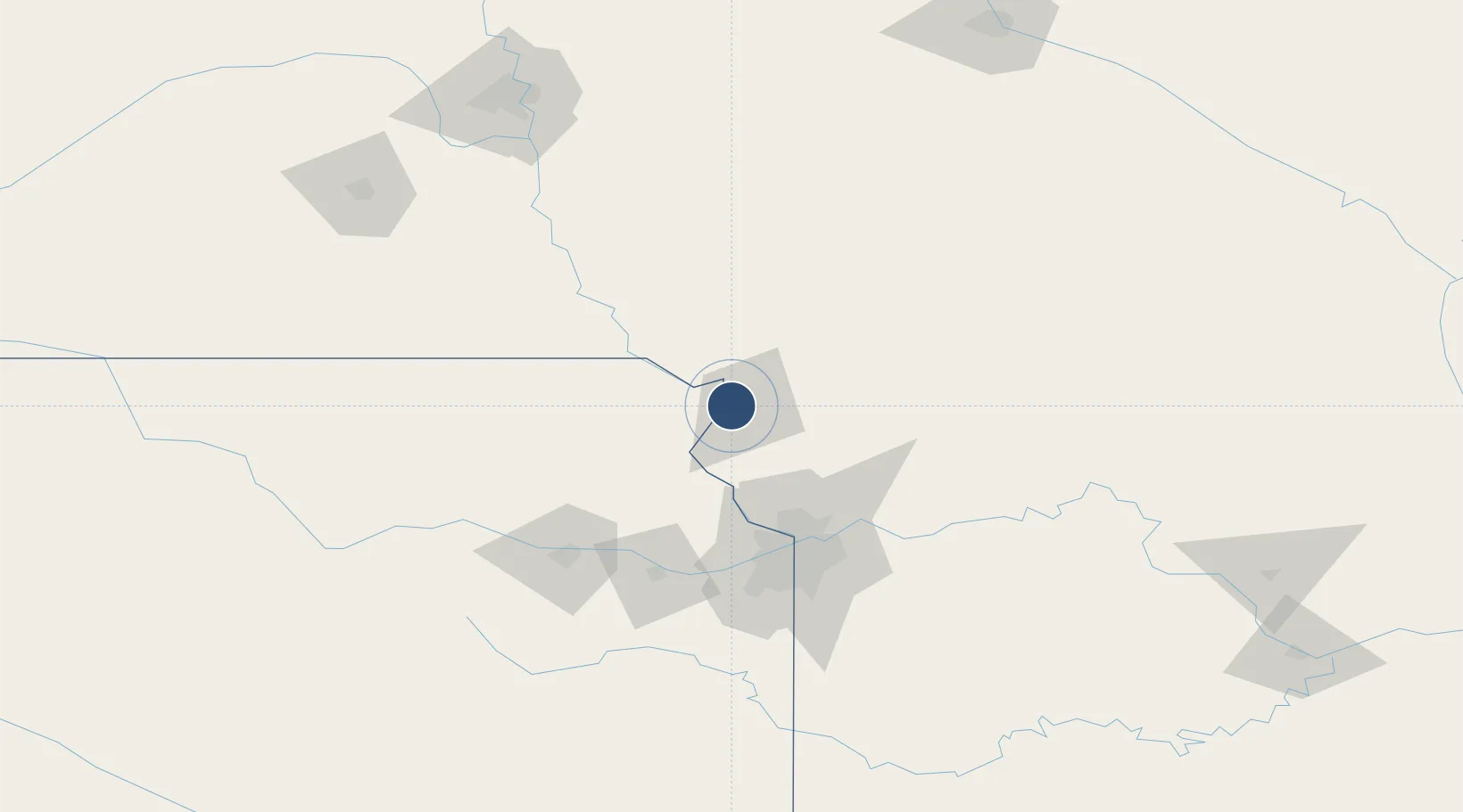
39.7719°, -94.9097°
8,061 ft
Longest runway
2
Runways
826 ft
Elevation
Runway & Layout

Radio Frequencies
ATIS
125.05 MHz
TWR
126.9 MHz
ST JOSEPH TWR
GND
121.9 MHz
CTAF
126.9 MHz
A/D
120.35 MHz
ST JOSEPH APP/DEP
POST
34.94 MHz
ANG COMD POST
UNIC
122.95 MHz
UNICOM
Navaids
AZN NDB Amazon 233 kHz
ST NDB Tario 260 kHz
Runways · 2
| Runway | Dimensions | Surface | True heading | Lit |
|---|---|---|---|---|
| 17/35 | 8,061 × 150ft | Concrete | 180° | ✓ |
| 13/31 | 4,797 × 75ft | Asphalt / concrete | 136° | — |
Airport Specifications
IATA code
STJ
ICAO code
KSTJ
Airport class
Medium airport
Scheduled service
No
Runway surface
Concrete
Served city
St Joseph
Location
Nearby Logistics Neighbours
Airports
Cities
- 1Wathena3 km
- 2Saint Joseph7 km
- 3Platte49 km
- 4Nortonville54 km
- 5Hiawatha54 km
Ports
- 1Great Lakes656 km
- 2Chicago658 km
- 3Wilmette659 km
- 4Calumet Harbor660 km
- 5Waukegan661 km
Trade Zones
- 1FTZ No. 017 Kansas City76 km
- 2FTZ No. 015 Kansas City104 km
- 3FTZ No. 133 Quad-Cities, Iowa Illinois127 km
- 4FTZ No. 059 Lincoln199 km
- 5FTZ No. 107 Polk County234 km
DatabookThe Record of Consolidated Knowledge
United States beyond logistics?