Channel & Berth Profile
Pilotage, Tugs & Services
Pilotage compulsoryYES
Tug assistanceNO
Salvage tugsNO
Potable waterYES
Diesel bunkersYES
MedicalYES
Facilities & Capabilities
Container—
Ro-Ro—
Liquid bulk—
Dry bulk—
Oil terminal—
Break bulk—
Dry dockNO
RepairsNO
BunkeringYES
Rail linkNO
Dangerous cargo—
ISPS security—
Harbour Specifications
Harbour size
Very Small
Harbour type
River (Tide Gates)
Shelter
Excellent
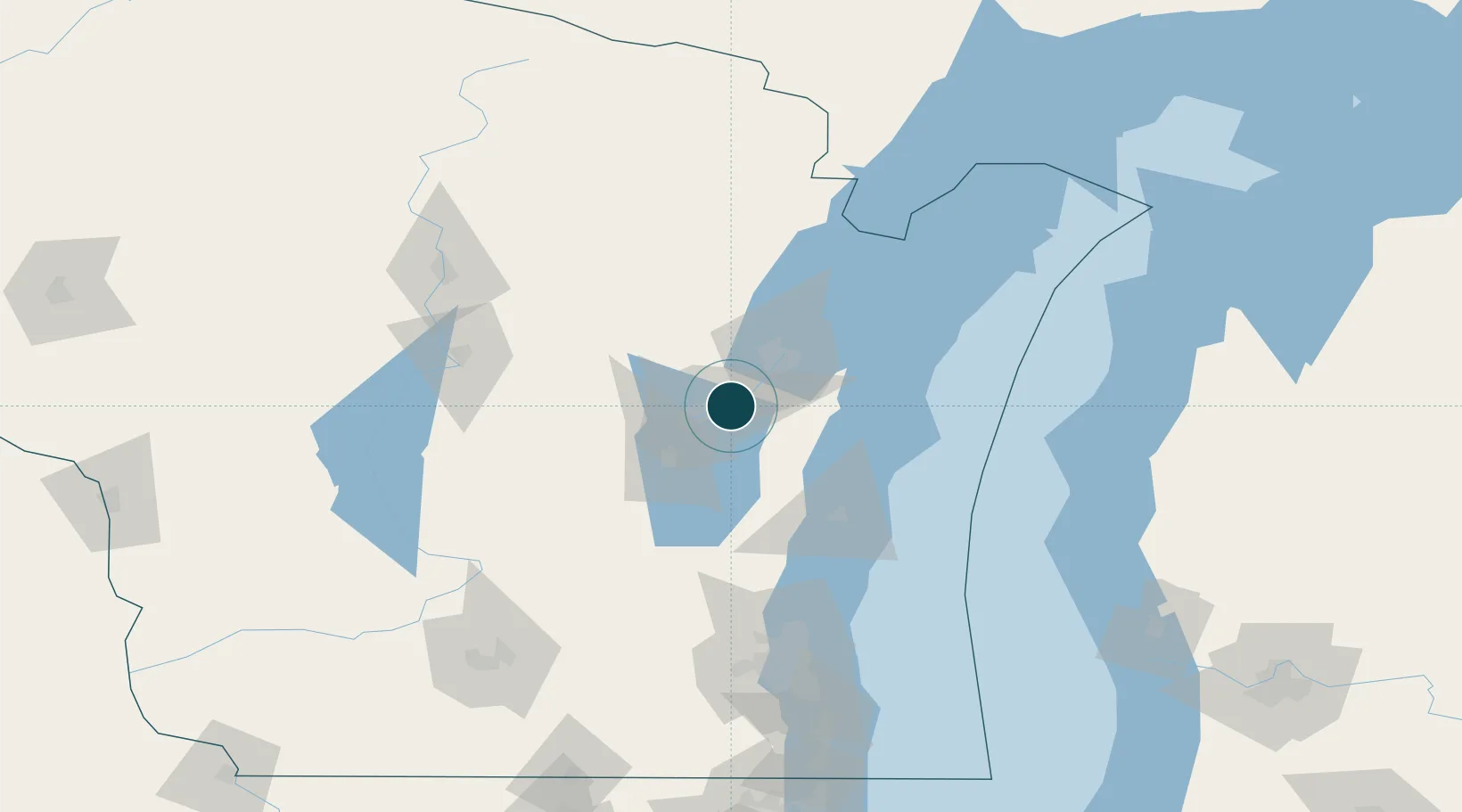
Water body
Lake Michigan; Great Lakes
Overhead limit
Yes
Pilotage
Yes
Location
Nearby Logistics Neighbours
Ports
- 1Green Bay33 km
- 2Manitowoc54 km
- 3Two Rivers58 km
- 4Kewaunee64 km
- 5Sheboygan75 km
Cities
- 1Wrightstown9 km
- 2Holland10 km
- 3Grand Chute13 km
- 4Ashwaubenon25 km
- 5De Pere25 km
Airports
Trade Zones
- 1FTZ No. 167 Brown County20 km
- 2FTZ No. 041 Milwaukee137 km
- 3FTZ No. 019 Omaha164 km
- 4FTZ No. 266 Dane County178 km
- 5FTZ No. 189 Kent Ottawa/Muskegon Counties197 km
DatabookThe Record of Consolidated Knowledge
United States beyond logistics?