Channel & Berth Profile
Pilotage, Tugs & Services
Pilotage compulsoryNO
Pilotage availableYES
Pilotage advisableNO
Local assistanceYES
Shore powerYES
Potable waterYES
Diesel bunkersYES
MedicalYES
Garbage disposalYES
Facilities & Capabilities
Container—
Ro-Ro—
Liquid bulk—
Dry bulk—
Oil terminal—
Break bulk—
Dry dock—
RepairsNO
BunkeringYES
Rail linkYES
Dangerous cargo—
ISPS security—
Harbour Specifications
Harbour size
Small
Harbour type
River (Natural)
Shelter
Excellent
Water body
Gulf of Mexico; North Atlantic Ocean
Overhead limit
Yes
Pilotage
No
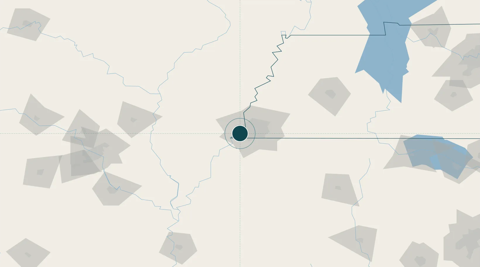
Location
Nearby Logistics Neighbours
Ports
- 1Madisonville519 km
- 2Baton Rouge522 km
- 3Mobile524 km
- 4Gulfport534 km
- 5Biloxi534 km
Cities
- 1Southhaven10 km
- 2Nesbit27 km
- 3Hughes30 km
- 4Germantown33 km
- 5Coldwater45 km
Airports
Trade Zones
- 1FTZ No. 223 Memphis9 km
- 2FTZ No. 273 West Memphis9 km
- 3FTZ No. 077 Memphis10 km
- 4FTZ No. 262 Southaven18 km
- 5FTZ No. 287 Tunica County65 km
DatabookThe Record of Consolidated Knowledge
United States beyond logistics?