Transport Functions
Rail
Road
Hub Profile
Place type
Populated place
Region
Kansas
Time zone
America/Chicago
Elevation
382 m
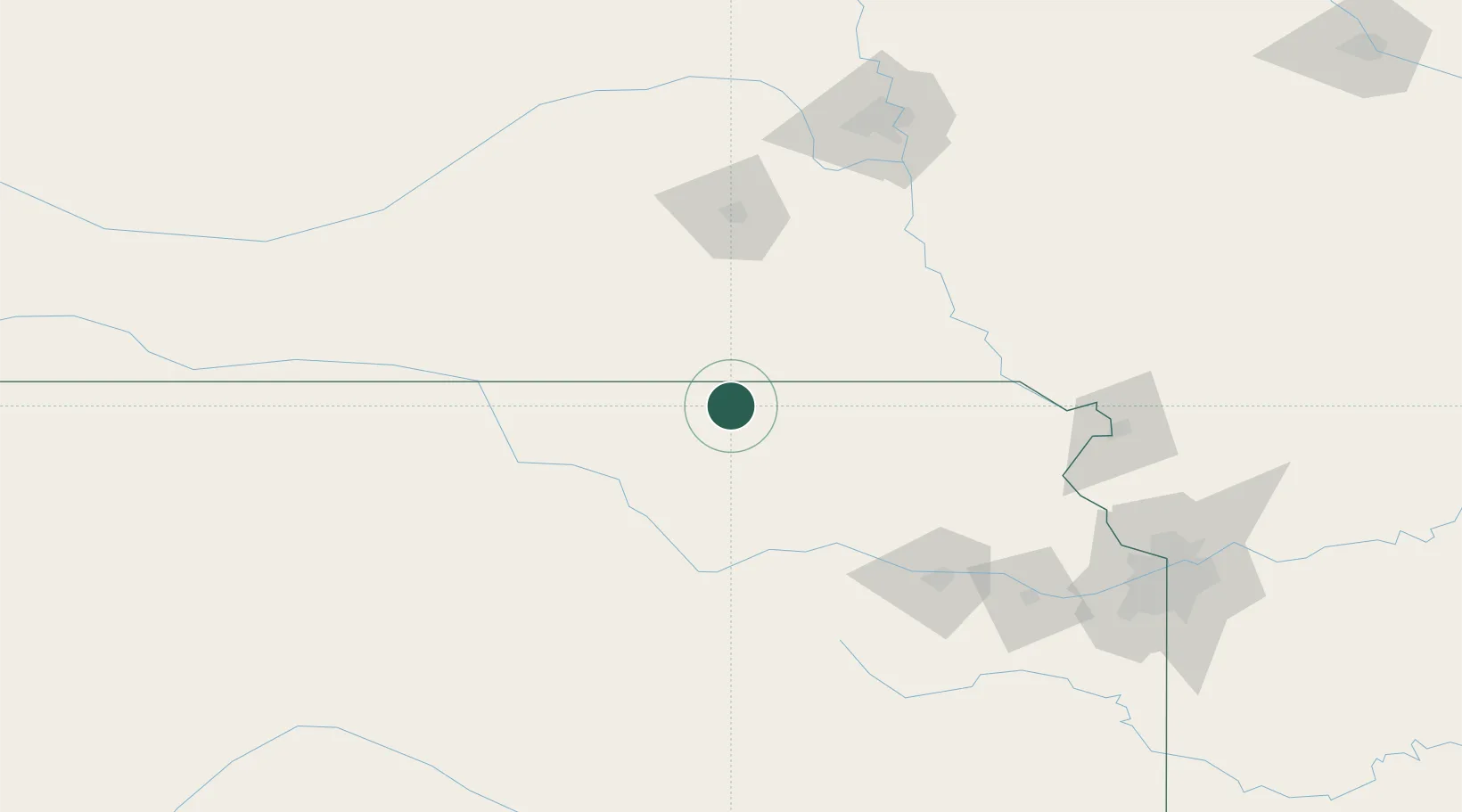
Location
Nearby Logistics Neighbours
Cities
- 1Waterville23 km
- 2Washington31 km
- 3Holmesville36 km
- 4Centralia53 km
- 5Seneca56 km
Ports
- 1Port Of Memphis787 km
- 2Superior849 km
- 3Kaukauna850 km
- 4Duluth851 km
- 5Green Bay881 km
Airports
- 1Manhattan Regional Airport83 km
- 2Marshall Army Air Field93 km
- 3Lincoln Airport107 km
- 4Philip Billard Municipal Airport129 km
- 5Topeka Regional Airport137 km
Trade Zones
- 1FTZ No. 133 Quad-Cities, Iowa Illinois44 km
- 2FTZ No. 059 Lincoln103 km
- 3FTZ No. 017 Kansas City181 km
- 4FTZ No. 015 Kansas City194 km
- 5FTZ No. 161 Sedgwick County260 km
DatabookThe Record of Consolidated Knowledge
United States beyond logistics?