Transport Functions
Road
Multimodal
Hub Profile
Place type
Provincial seat
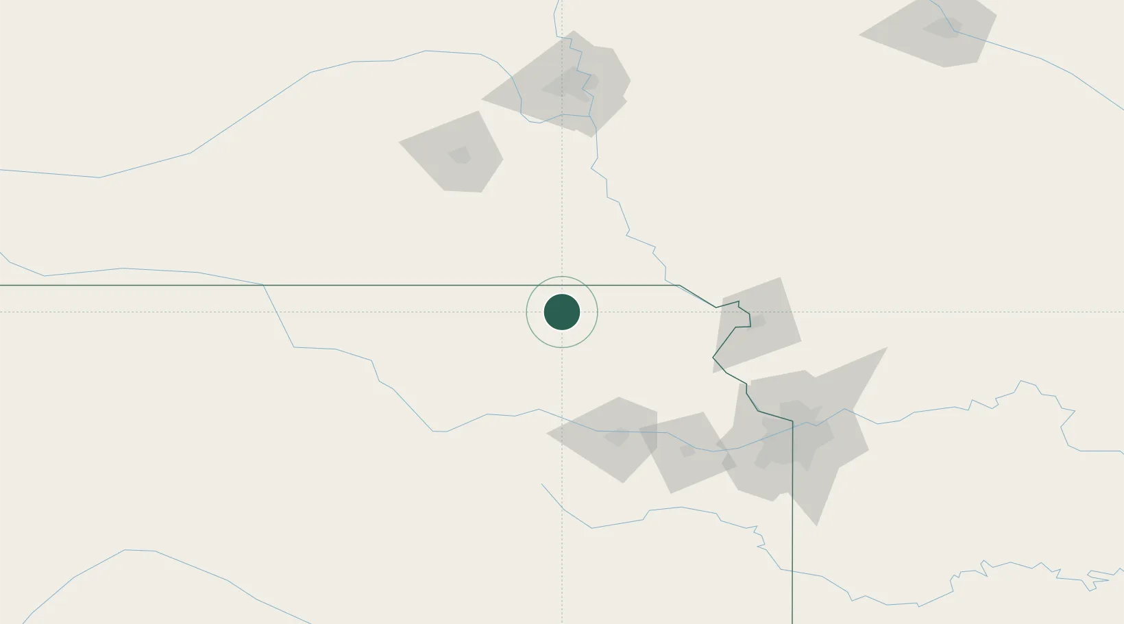
Region
Kansas
Population
2,034
Time zone
America/Chicago
Elevation
347 m
Location
Nearby Logistics Neighbours
Cities
- 1Centralia14 km
- 2Sabetha23 km
- 3Hiawatha44 km
- 4Falls City45 km
- 5Holton49 km
Ports
- 1Port Of Memphis742 km
- 2Kaukauna810 km
- 3Superior832 km
- 4Duluth834 km
- 5Green Bay842 km
Airports
Trade Zones
- 1FTZ No. 133 Quad-Cities, Iowa Illinois42 km
- 2FTZ No. 059 Lincoln126 km
- 3FTZ No. 017 Kansas City132 km
- 4FTZ No. 015 Kansas City149 km
- 5FTZ No. 161 Sedgwick County280 km
DatabookThe Record of Consolidated Knowledge
United States beyond logistics?