Medium airport · United States
Marshall Army Air FieldKFRI
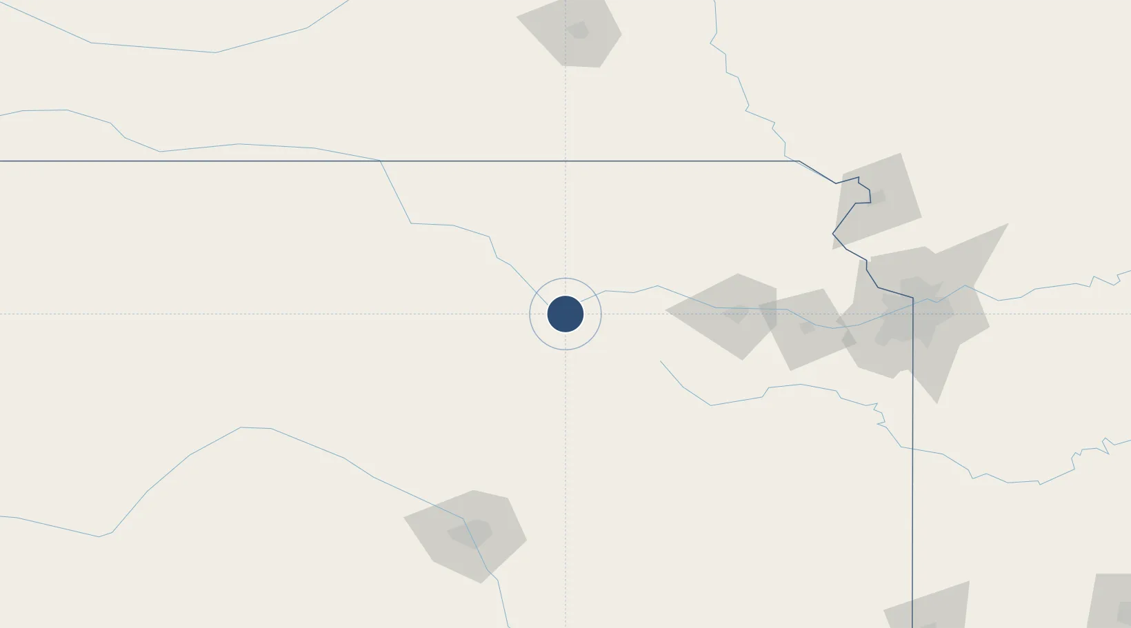
39.0530°, -96.7642°
4,503 ft
Longest runway
1
Runways
1,065 ft
Elevation
Runway & Layout

Radio Frequencies
ASOS
118.375 MHz
CTAF
126.2 MHz
AAS
126.2 MHz
VFR ADVSY SVC
ARTC
127.35 MHz
KANSAS CITY CNTR
MISC
40.8 MHz
RANGE CON
OPS
40.55 MHz
Navaids
CVY NDB Cavalry 314 kHz
FRI VOR Fort Riley 109.40 MHz
Runways · 1
| Runway | Dimensions | Surface | True heading | Lit |
|---|---|---|---|---|
| 04/22 | 4,503 × 100ft | Concrete | 050° | ✓ |
Airport Specifications
IATA code
FRI
ICAO code
KFRI
Airport class
Medium airport
Scheduled service
No
Runway surface
Concrete
Served city
Fort Riley (Junction City)
Location
Nearby Logistics Neighbours
Airports
Cities
- 1Chapman24 km
- 2Riley26 km
- 3Council Grove49 km
- 4Saint Marys62 km
- 5Waterville70 km
Ports
- 1Port Of Memphis734 km
- 2Kaukauna914 km
- 3Superior935 km
- 4Duluth938 km
- 5Green Bay945 km
Trade Zones
- 1FTZ No. 133 Quad-Cities, Iowa Illinois128 km
- 2FTZ No. 015 Kansas City163 km
- 3FTZ No. 017 Kansas City165 km
- 4FTZ No. 161 Sedgwick County174 km
- 5FTZ No. 059 Lincoln194 km
DatabookThe Record of Consolidated Knowledge
United States beyond logistics?