Medium airport · Canada
Lethbridge County AirportCYQL
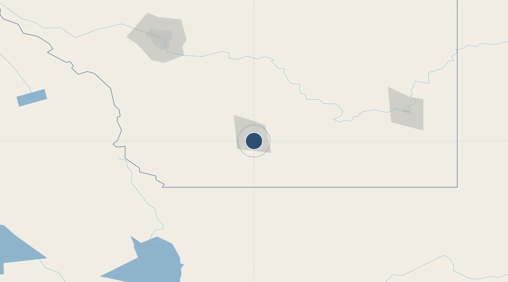
49.6303°, -112.8000°
6,500 ft
Longest runway
2
Runways
3,048 ft
Elevation
Runway & Layout

Radio Frequencies
ATIS
124.4 MHz
A/G
121 MHz
MF
CNTR
132.75 MHz
EDMONTON CNTR
RCO
122.5 MHz
EDMONTON RDO
RDO
121 MHz
Navaids
QL NDB Lethbridge 248 kHz
YQL VOR-DME Lethbridge 115.70 MHz
Runways · 2
| Runway | Dimensions | Surface | True heading | Lit |
|---|---|---|---|---|
| 06/24 | 6,500 × 200ft | Asphalt | 070° | ✓ |
| 13/31 | 5,500 × 150ft | Asphalt | 140° | ✓ |
Airport Specifications
IATA code
YQL
ICAO code
CYQL
Airport class
Medium airport
Scheduled service
Yes
Runway surface
Asphalt
Served city
Lethbridge
Location
Nearby Logistics Neighbours
Airports
Cities
- 1Picture Butte26 km
- 2Monarch30 km
- 3Iron Springs35 km
- 4Cranford35 km
- 5New Dayton37 km
Ports
- 1Mission City686 km
- 2Bellingham711 km
- 3Everett712 km
- 4Mukilteo720 km
- 5Port Coquitlam722 km
Trade Zones
- 1FTZ No. 187 Toole County120 km
- 2Calgary Region Inland Port182 km
- 3FTZ No. 088 Great Falls257 km
- 4FTZ No. 242 Boundary County308 km
- 5FTZ No. 275 Lansing403 km
DatabookThe Record of Consolidated Knowledge
Canada beyond logistics?