Transport Functions
Rail
Road
Hub Profile
Place type
Populated place
Region
Alberta
Population
305
Time zone
America/Edmonton
Elevation
1,076 m
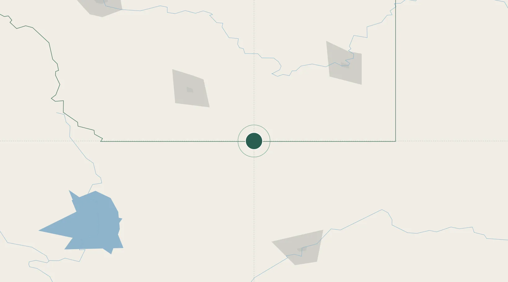
Location
Nearby Logistics Neighbours
Cities
- 1Warner36 km
- 2New Dayton58 km
- 3Etzikom82 km
- 4Glen84 km
- 5Cranford88 km
Ports
- 1Mission City751 km
- 2Everett764 km
- 3Mukilteo771 km
- 4Bellingham771 km
- 5Point Wells783 km
Airports
- 1Cut Bank International Airport54 km
- 2Lethbridge County Airport93 km
- 3Medicine Hat Regional Airport144 km
- 4Pincher Creek Airport159 km
- 5Havre City County Airport168 km
Trade Zones
- 1FTZ No. 187 Toole County50 km
- 2FTZ No. 088 Great Falls170 km
- 3Calgary Region Inland Port274 km
- 4FTZ No. 275 Lansing335 km
- 5FTZ No. 274 Butte-Silver Bow352 km
DatabookThe Record of Consolidated Knowledge
Canada beyond logistics?