Medium airport · Canada

Pincher Creek AirportCZPC

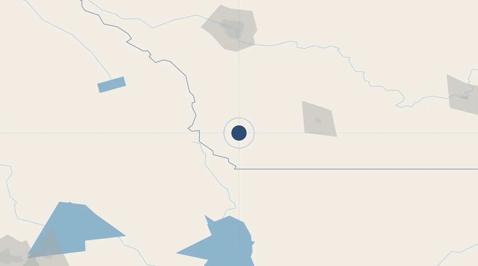
49.5204°, -113.9970°
6,600 ft
Longest runway
1
Runways
3,903 ft
Elevation

Runway & Layout

Pincher Creek Airport runway & taxiway layout
Runway & taxiway layout — OpenStreetMap (ODbL) / OurAirports

Radio Frequencies

A/D
132.75 MHz
EDMONTON CNTR
ATF
123.2 MHz
RDO
126.7 MHz
EDMONTON RDO
OurAirports

Navaids

9Y NDB Pincher Creek 311 kHz
OurAirports

Runways · 1

RunwayDimensions SurfaceTrue headingLit
08/26 6,600 × 100ft Asphalt 090°
OurAirports

Airport Specifications

IATA code
WPC
OurAirports
ICAO code
CZPC
OurAirports
Airport class
Medium airport
OurAirports
Scheduled service
No
OurAirports
Runway surface
Asphalt
OurAirports
Served city
Pincher Creek
OurAirports

Location

Location of CZPC
Natural Earth 10m (public domain) · Alberta · CZPC · 49.52, -114.00GoogleOSMYandex

Nearby Logistics Neighbours

Airports
  1. 1Lethbridge County Airport87 km
  2. 2Cranbrook/Canadian Rockies International Airport129 km
  3. 3Glacier Park International Airport136 km
  4. 4Cut Bank International Airport156 km
  5. 5Calgary International Airport178 km
Nearest neighbours — logibook spatial index (haversine) over the source coordinates
Cities
  1. 1Brocket17 km
  2. 2Glenwood39 km
  3. 3Granum52 km
  4. 4Claresholm64 km
  5. 5Monarch71 km
Nearest neighbours — logibook spatial index (haversine) over the source coordinates
Ports
  1. 1Mission City600 km
  2. 2Bellingham624 km
  3. 3Everett625 km
  4. 4Mukilteo633 km
  5. 5Port Coquitlam635 km
Nearest neighbours — logibook spatial index (haversine) over the source coordinates
Trade Zones
  1. 1FTZ No. 187 Toole County160 km
  2. 2Calgary Region Inland Port170 km
  3. 3FTZ No. 242 Boundary County223 km
  4. 4FTZ No. 088 Great Falls293 km
  5. 5FTZ No. 224 Spokane328 km
Nearest neighbours — logibook spatial index (haversine) over the source coordinates
DatabookThe Record of Consolidated Knowledge
Canada beyond logistics?
Browse databook

All Sources

AirportsOurAirports
Public domain
Portsthe NGA World Port Index
Public domain (US gov)
LocationsUN/LOCODE
UN/LOCODE — free
Trade Zonesthe World Bank SEZ database
CC BY 4.0
Trade ZonesOpen Zone Map
CC BY
InfrastructureOpenStreetMap
ODbL 1.0
← Canada airports