Transport Functions
Rail
Road
Hub Profile
Place type
Populated place
Region
Alberta
Time zone
America/Edmonton
Elevation
1,109 m
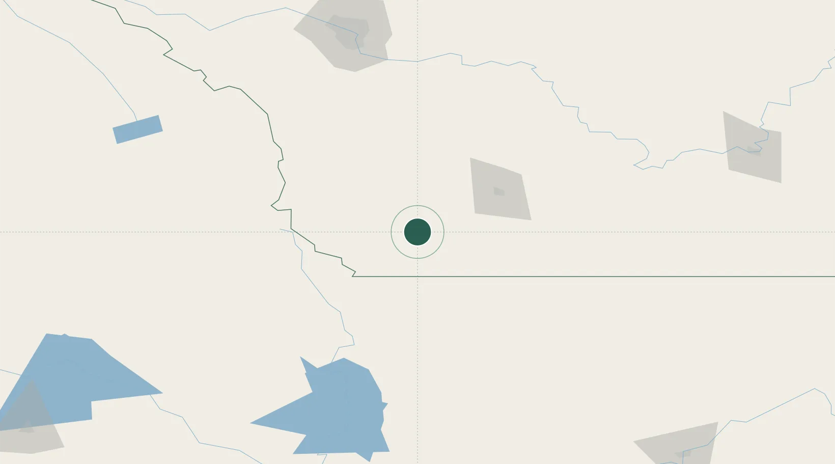
Location
Nearby Logistics Neighbours
Cities
- 1Brocket27 km
- 2Granum56 km
- 3Monarch56 km
- 4Claresholm74 km
- 5Picture Butte77 km
Ports
- 1Mission City635 km
- 2Everett656 km
- 3Bellingham658 km
- 4Mukilteo664 km
- 5Port Coquitlam671 km
Airports
Trade Zones
- 1FTZ No. 187 Toole County123 km
- 2Calgary Region Inland Port191 km
- 3FTZ No. 242 Boundary County250 km
- 4FTZ No. 088 Great Falls257 km
- 5FTZ No. 224 Spokane348 km
DatabookThe Record of Consolidated Knowledge
Canada beyond logistics?