Transport Functions
Rail
Road
Hub Profile
Place type
Populated place
Region
Alberta
Time zone
America/Edmonton
Elevation
1,007 m
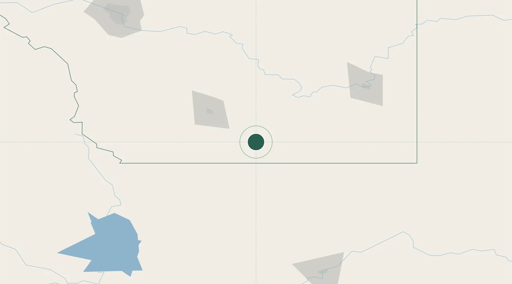
Location
Nearby Logistics Neighbours
Cities
- 1New Dayton21 km
- 2Coutts36 km
- 3Cranford53 km
- 4Taber56 km
- 5Grassy Lake69 km
Ports
- 1Mission City730 km
- 2Everett749 km
- 3Bellingham753 km
- 4Mukilteo757 km
- 5Anacortes766 km
Airports
Trade Zones
- 1FTZ No. 187 Toole County75 km
- 2FTZ No. 088 Great Falls206 km
- 3Calgary Region Inland Port237 km
- 4FTZ No. 242 Boundary County342 km
- 5FTZ No. 275 Lansing365 km
DatabookThe Record of Consolidated Knowledge
Canada beyond logistics?