Foreign Trade Zone · Canada
Calgary Region Inland Port Active
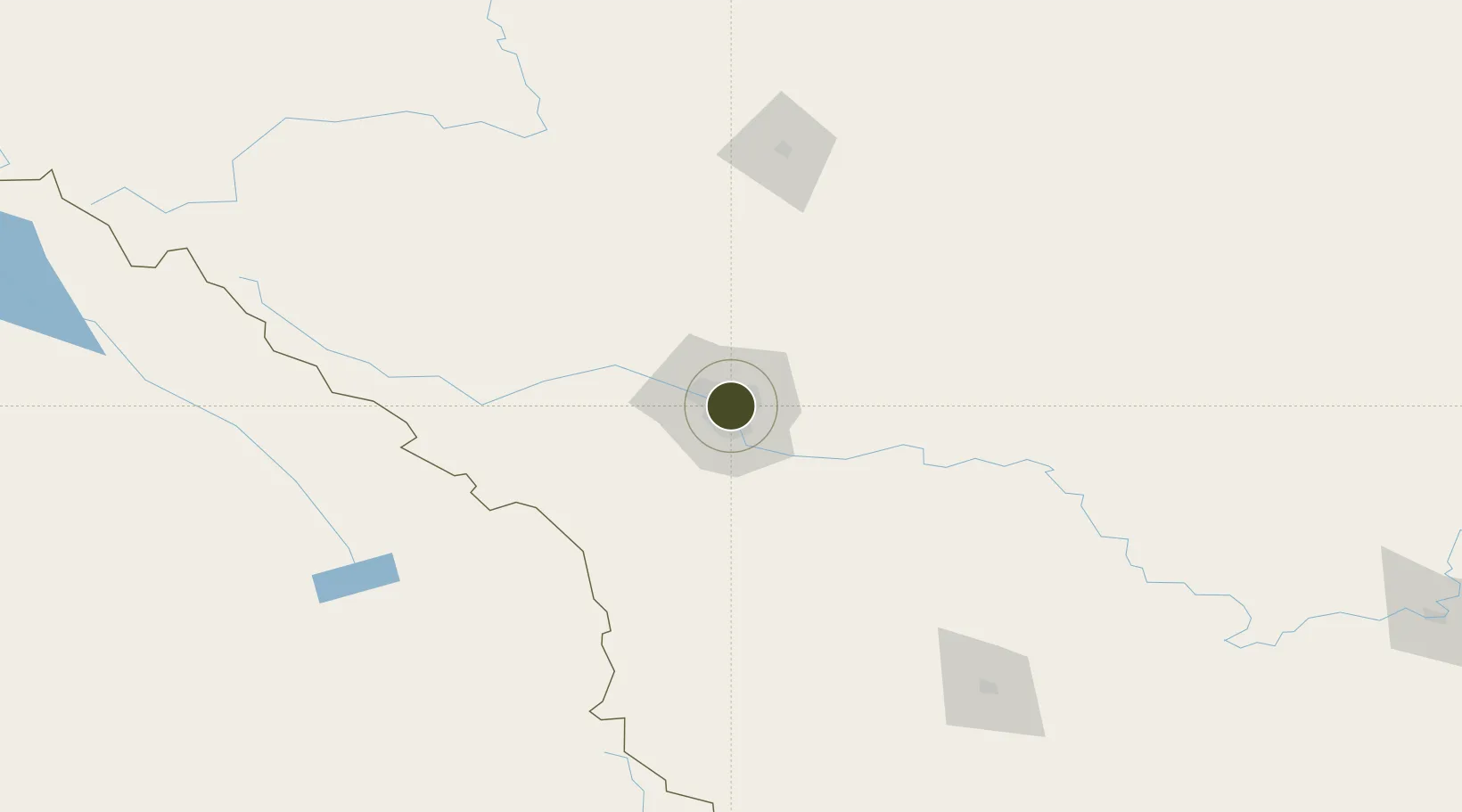
51.0500°, -114.0667°
12,000 ha
Zone area
621.1 km
Nearest port
8.6 km
Nearest airport
Gateway access
Zone profile
Zone type
Foreign Trade Zone
Region
Alberta
Status
Active
Management
Public-Private Partnership
Operator
Calgary Logistics Council
Legal framework
Foreign Trade Zone Act of 1934
Location
Nearby Logistics Neighbours
Ports
- 1Mission City621 km
- 2Port Coquitlam652 km
- 3Bellingham655 km
- 4Port Moody658 km
- 5Fraser Mills658 km
Airports
- 1Calgary International Airport9 km
- 2Calgary / Springbank Airport22 km
- 3Red Deer Regional Airport127 km
- 4Pincher Creek Airport170 km
- 5Lethbridge County Airport182 km
Cities
- 1Calgary8 km
- 2Rocky View County16 km
- 3Chestermere18 km
- 4Balzac19 km
- 5Langdon30 km
Trade Zones
- 1Port Alberta - Edmonton FTZ292 km
- 2FTZ No. 187 Toole County300 km
- 3FTZ No. 242 Boundary County323 km
- 4FTZ No. 088 Great Falls438 km
- 5FTZ No. 224 Spokane450 km
DatabookThe Record of Consolidated Knowledge
Canada beyond logistics?