Transport Functions
Rail
Road
Hub Profile
Place type
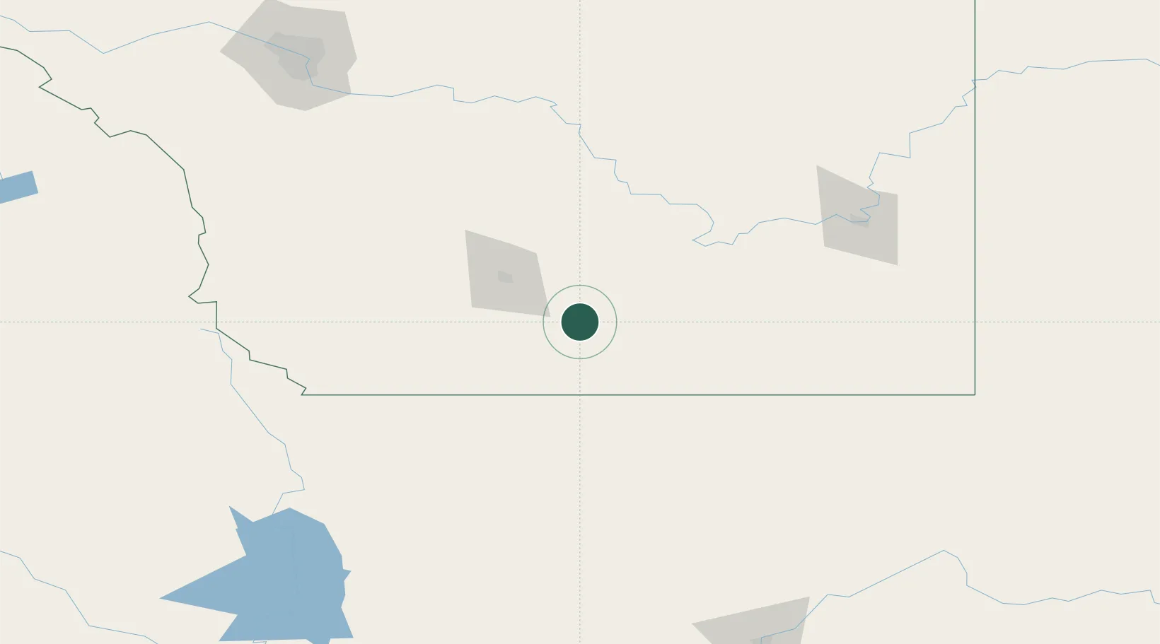
Populated place
Region
Alberta
Time zone
America/Edmonton
Elevation
975 m
Location
Nearby Logistics Neighbours
Cities
- 1Warner21 km
- 2Cranford35 km
- 3Taber42 km
- 4Picture Butte56 km
- 5Coutts58 km
Ports
- 1Mission City716 km
- 2Everett738 km
- 3Bellingham740 km
- 4Mukilteo746 km
- 5Port Coquitlam752 km
Airports
Trade Zones
- 1FTZ No. 187 Toole County92 km
- 2Calgary Region Inland Port216 km
- 3FTZ No. 088 Great Falls225 km
- 4FTZ No. 242 Boundary County332 km
- 5FTZ No. 275 Lansing381 km
DatabookThe Record of Consolidated Knowledge
Canada beyond logistics?