Transport Functions
Rail
Road
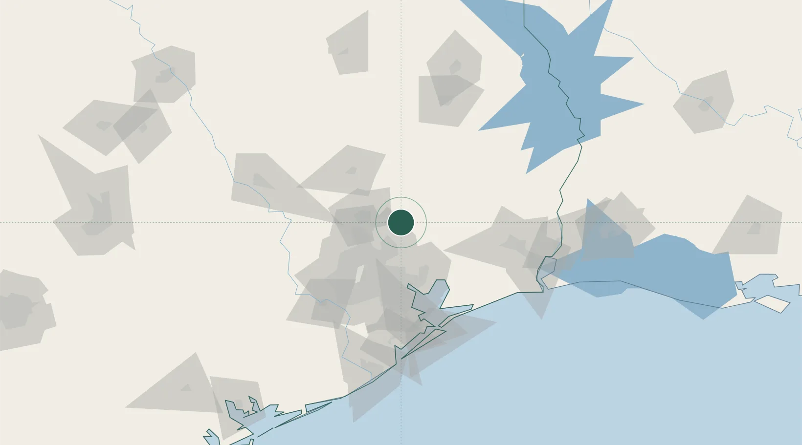
Hub Profile
Place type
Populated place
Region
Texas
Time zone
America/Chicago
Elevation
40 m
Location
Nearby Logistics Neighbours
Cities
- 1New Caney17 km
- 2Shepherd27 km
- 3Huffman28 km
- 4Atascocita34 km
- 5Rye38 km
Airports
Trade Zones
- 1FTZ No. 171 Liberty County11 km
- 2FTZ No. 084 Harris County57 km
- 3FTZ No. 115 Beaumont91 km
- 4FTZ No. 199 Texas City101 km
- 5FTZ No. 116 Port Arthur110 km
DatabookThe Record of Consolidated Knowledge
United States beyond logistics?