Foreign Trade Zone · United States

FTZ No. 116 Port Arthur Active
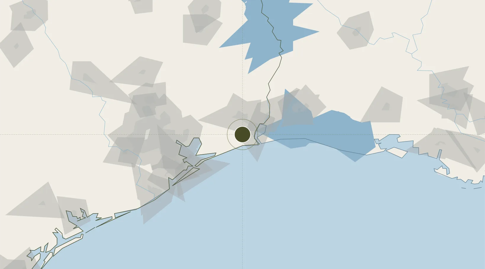
29.8316°, -94.1045°
13.3 km
Nearest port
15.5 km
Nearest airport

Gateway access

Nearest neighbours — logibook spatial index (haversine) over the source coordinates

Zone profile

Zone type
Foreign Trade Zone
Open Zone Map
Region
Texas
Open Zone Map
Status
Active
Open Zone Map
Management
Public-Private Partnership
Open Zone Map
Operator
Foreign-Trade Zone of Southeast Texas, Inc.
Open Zone Map
Legal framework
Foreign-Trade Zones Act
Open Zone Map

Location

Location of ozm-4901
Natural Earth 10m (public domain) · Texas · ozm-4901 · 29.83, -94.10GoogleOSMYandex

Nearby Logistics Neighbours

Ports
  1. 1Port Arthur13 km
  2. 2Sabine Pass23 km
  3. 3Port Neches24 km
  4. 4Sabine26 km
  5. 5Beaumont28 km
Nearest neighbours — logibook spatial index (haversine) over the source coordinates
Airports
  1. 1Jack Brooks Regional Airport16 km
  2. 2Lake Charles Regional Airport91 km
  3. 3Scholes International At Galveston Airport97 km
  4. 4Ellington Airport105 km
  5. 5William P. Hobby Airport115 km
Nearest neighbours — logibook spatial index (haversine) over the source coordinates
Cities
  1. 1Port Arthur19 km
  2. 2Groves21 km
  3. 3Winnie27 km
  4. 4Amelia27 km
  5. 5Atreco27 km
Nearest neighbours — logibook spatial index (haversine) over the source coordinates
Trade Zones
  1. 1FTZ No. 115 Beaumont29 km
  2. 2FTZ No. 117 Orange40 km
  3. 3FTZ No. 291 Cameron Parish54 km
  4. 4FTZ No. 087 Lake Charles82 km
  5. 5FTZ No. 036 Galveston89 km
Nearest neighbours — logibook spatial index (haversine) over the source coordinates
DatabookThe Record of Consolidated Knowledge
United States beyond logistics?
Browse databook

All Sources

Trade ZonesOpen Zone Map
CC BY
Portsthe NGA World Port Index
Public domain (US gov)
AirportsOurAirports
Public domain
LocationsUN/LOCODE
UN/LOCODE — free
← United States trade zones