UN/LOCODE hub · United States
USNCY
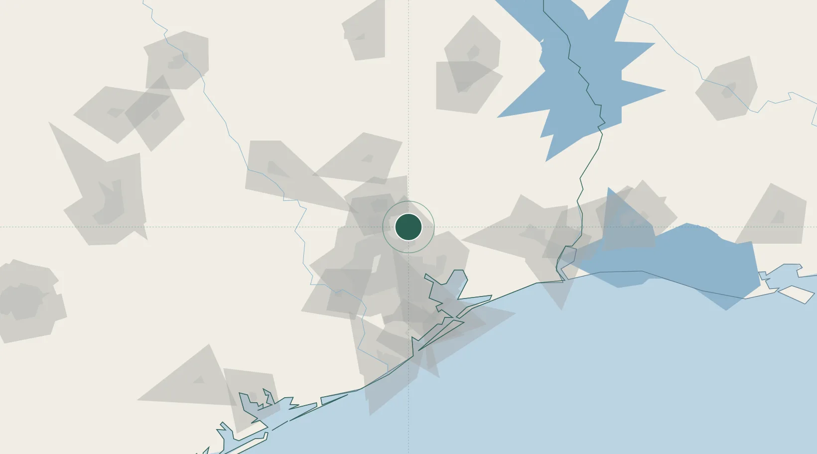
New Caney
30.1500°, -95.2000°
20,000
Population
4
Transport functions
Transport Functions
Port
Rail
Road
Multimodal
Hub Profile
Place type
Populated place
Region
Texas
Population
20,000
Time zone
America/Chicago
Elevation
29 m
Location
Nearby Logistics Neighbours
Cities
- 1Huffman14 km
- 2Williams17 km
- 3Atascocita19 km
- 4Oklahoma37 km
- 5North Houston39 km
Ports
- 1Houston45 km
- 2Deer Park46 km
- 3Pasadena48 km
- 4Baytown50 km
- 5Texas City90 km
Airports
Trade Zones
- 1FTZ No. 171 Liberty County12 km
- 2FTZ No. 084 Harris County40 km
- 3FTZ No. 199 Texas City88 km
- 4FTZ No. 115 Beaumont97 km
- 5FTZ No. 036 Galveston102 km
DatabookThe Record of Consolidated Knowledge
United States beyond logistics?