UN/LOCODE hub · United States
USHFZ

Huffman

30.0333°, -95.1500°
2
Transport functions

Transport Functions

Road
Multimodal
UN/LOCODE

Hub Profile

Place type
Populated place
GeoNames
Region
Texas
GeoNames
Time zone
America/Chicago
GeoNames
Elevation
21 m
GeoNames

Location

Location of USHFZ
Natural Earth 10m (public domain) · Texas · USHFZ · 30.03, -95.15GoogleOSMYandex

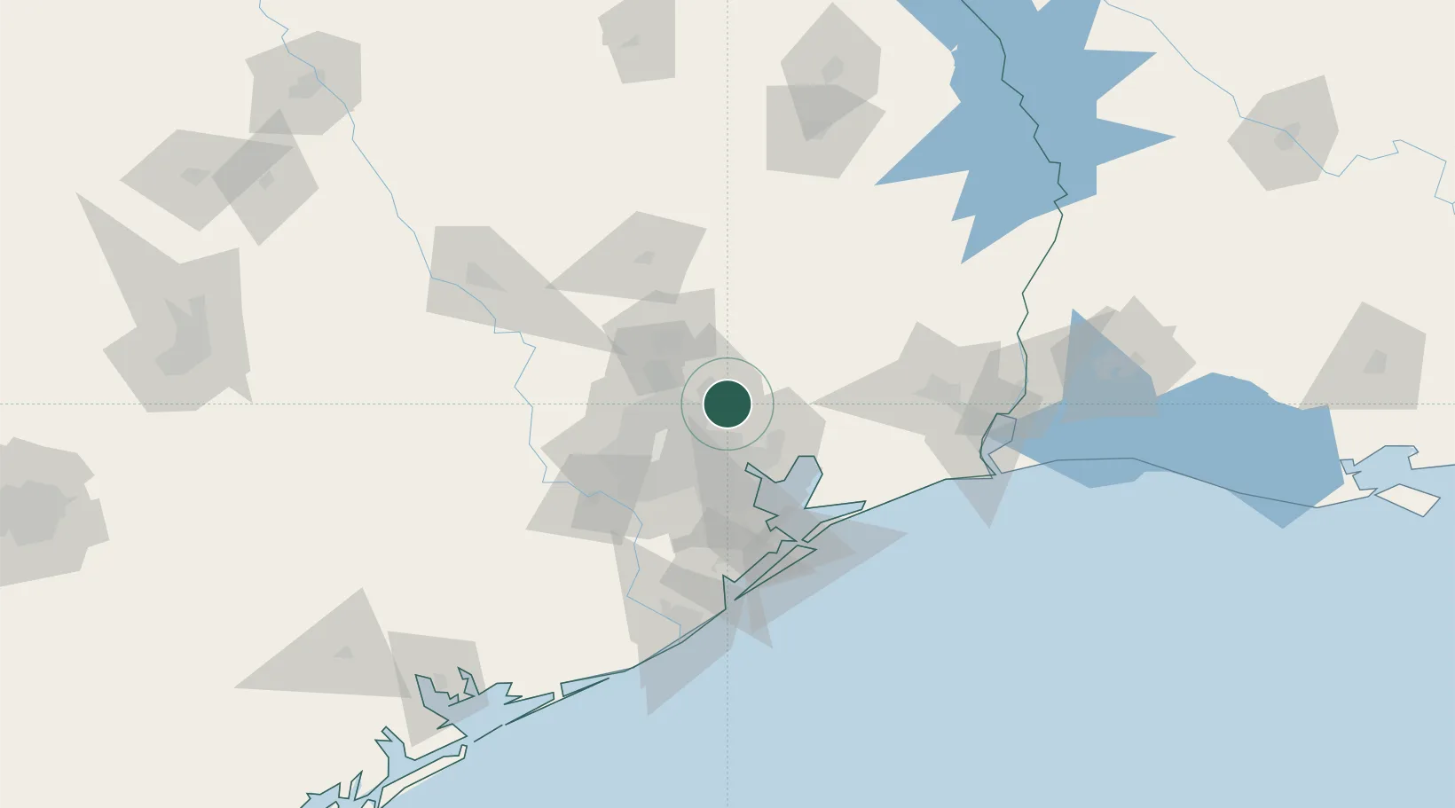
Nearby Logistics Neighbours

Cities
  1. 1Atascocita6 km
  2. 2New Caney14 km
  3. 3Highlands28 km
  4. 4Williams28 km
  5. 5Mont Belvieu29 km
Nearest neighbours — logibook spatial index (haversine) over the source coordinates
Ports
  1. 1Houston34 km
  2. 2Baytown36 km
  3. 3Pasadena36 km
  4. 4Deer Park36 km
  5. 5Texas City76 km
Nearest neighbours — logibook spatial index (haversine) over the source coordinates
Airports
  1. 1George Bush Intercontinental Airport19 km
  2. 2Conroe-North Houston Regional Airport44 km
  3. 3William P. Hobby Airport45 km
  4. 4Ellington Airport47 km
  5. 5Sugar Land Regional Airport67 km
Nearest neighbours — logibook spatial index (haversine) over the source coordinates
Trade Zones
  1. 1FTZ No. 171 Liberty County18 km
  2. 2FTZ No. 084 Harris County30 km
  3. 3FTZ No. 199 Texas City75 km
  4. 4FTZ No. 036 Galveston88 km
  5. 5FTZ No. 115 Beaumont92 km
Nearest neighbours — logibook spatial index (haversine) over the source coordinates
DatabookThe Record of Consolidated Knowledge
United States beyond logistics?
Browse databook

All Sources

LocationsUN/LOCODE
UN/LOCODE — free
Portsthe NGA World Port Index
Public domain (US gov)
AirportsOurAirports
Public domain
Trade Zonesthe World Bank SEZ database
CC BY 4.0
Trade ZonesOpen Zone Map
CC BY
← United States locations