Transport Functions
Road
Multimodal
Hub Profile
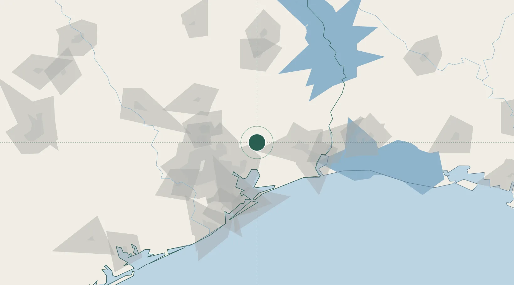
Place type
Populated place
Region
Texas
Population
866
Time zone
America/Chicago
Elevation
25 m
Location
Nearby Logistics Neighbours
Cities
- 1Raywood15 km
- 2Rye34 km
- 3Mont Belvieu35 km
- 4Williams40 km
- 5China40 km
Airports
Trade Zones
- 1FTZ No. 171 Liberty County34 km
- 2FTZ No. 115 Beaumont52 km
- 3FTZ No. 084 Harris County67 km
- 4FTZ No. 116 Port Arthur70 km
- 5FTZ No. 117 Orange83 km
DatabookThe Record of Consolidated Knowledge
United States beyond logistics?