UN/LOCODE hub · United States
USAT9

Atascocita

29.9833°, -95.1667°
65,844
Population
1
Transport functions

Transport Functions

Multimodal
UN/LOCODE

Hub Profile

Place type
Urban district
GeoNames
Region
Texas
GeoNames
Population
65,844
GeoNames
Time zone
America/Chicago
GeoNames
Elevation
22 m
GeoNames

Location

Location of USAT9
Natural Earth 10m (public domain) · Texas · USAT9 · 29.98, -95.17GoogleOSMYandex

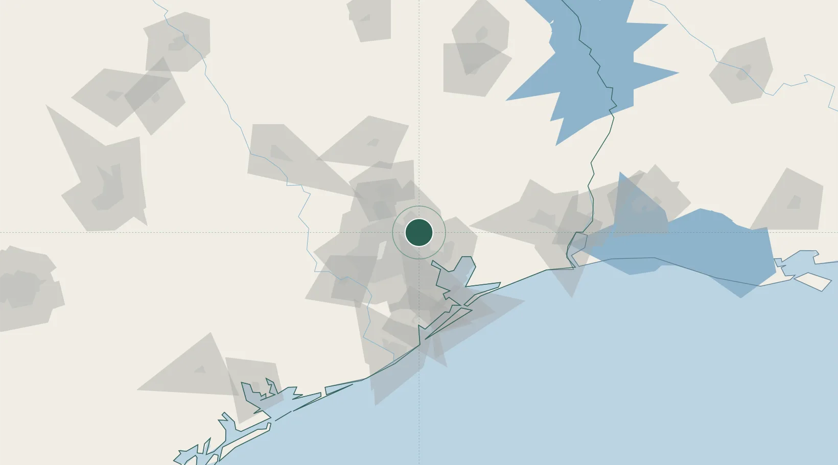
Nearby Logistics Neighbours

Cities
  1. 1Huffman6 km
  2. 2New Caney19 km
  3. 3Highlands23 km
  4. 4Jacinto City25 km
  5. 5Houston25 km
Nearest neighbours — logibook spatial index (haversine) over the source coordinates
Ports
  1. 1Houston28 km
  2. 2Pasadena30 km
  3. 3Deer Park31 km
  4. 4Baytown31 km
  5. 5Texas City71 km
Nearest neighbours — logibook spatial index (haversine) over the source coordinates
Airports
  1. 1George Bush Intercontinental Airport17 km
  2. 2William P. Hobby Airport39 km
  3. 3Ellington Airport42 km
  4. 4Conroe-North Houston Regional Airport47 km
  5. 5Sugar Land Regional Airport62 km
Nearest neighbours — logibook spatial index (haversine) over the source coordinates
Trade Zones
  1. 1FTZ No. 171 Liberty County24 km
  2. 2FTZ No. 084 Harris County24 km
  3. 3FTZ No. 199 Texas City70 km
  4. 4FTZ No. 036 Galveston83 km
  5. 5FTZ No. 115 Beaumont94 km
Nearest neighbours — logibook spatial index (haversine) over the source coordinates
DatabookThe Record of Consolidated Knowledge
United States beyond logistics?
Browse databook

All Sources

LocationsUN/LOCODE
UN/LOCODE — free
LocationsGeoNames
CC BY 4.0
Portsthe NGA World Port Index
Public domain (US gov)
AirportsOurAirports
Public domain
Trade Zonesthe World Bank SEZ database
CC BY 4.0
Trade ZonesOpen Zone Map
CC BY
← United States locations