Medium airport · United States
Conroe-North Houston Regional AirportKCXO
30.3518°, -95.4145°
7,501 ft
Longest runway
2
Runways
245 ft
Elevation
Runway & Layout

Radio Frequencies
ASOS
118.325 MHz
CLD
119.55 MHz
CLNC DEL
A/D
119.7 MHz
HOUSTON APP/DEP
RDO
122.2 MHz
UNIC
122.95 MHz
CTAF/UNICOM
Navaids
CX NDB Alibi 281 kHz
Runways · 2
| Runway | Dimensions | Surface | True heading | Lit |
|---|---|---|---|---|
| 14/32 | 7,501 × 150ft | Asphalt | 146° | ✓ |
| 01/19 | 5,000 × 100ft | Asphalt | 017° | ✓ |
Airport Specifications
IATA code
CXO
ICAO code
KCXO
Airport class
Medium airport
Scheduled service
No
Runway surface
Asphalt
Served city
Houston
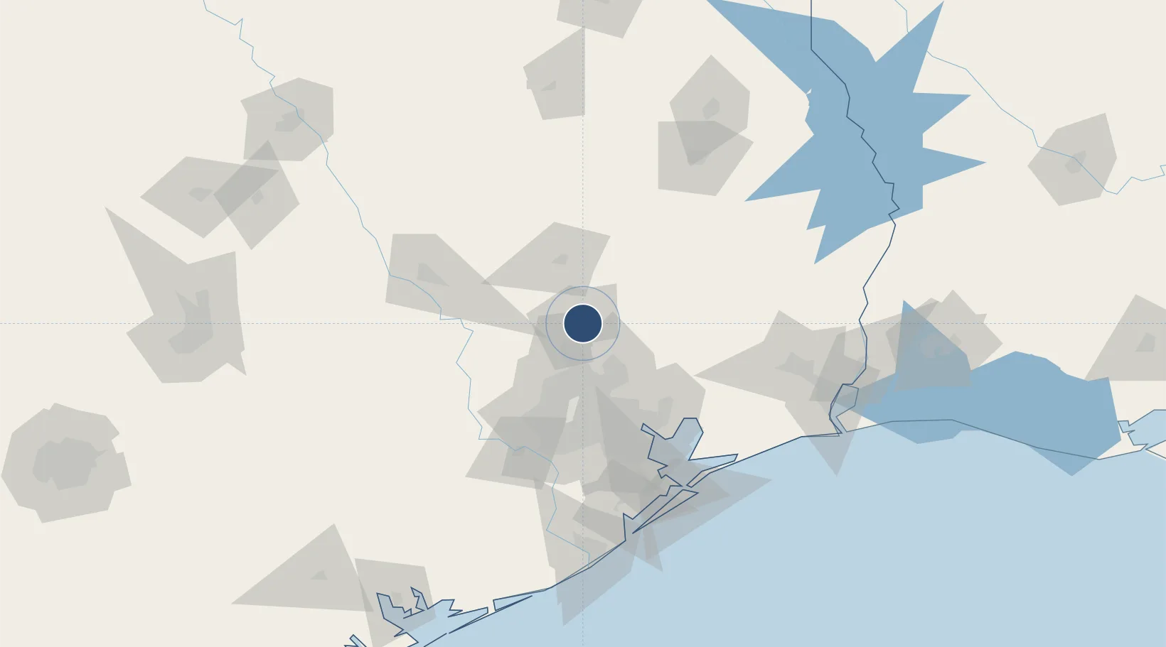
Location
Nearby Logistics Neighbours
Airports
Cities
- 1Montgomery28 km
- 2Oklahoma28 km
- 3Williams30 km
- 4New Caney31 km
- 5Magnolia36 km
Ports
- 1Deer Park67 km
- 2Houston68 km
- 3Pasadena73 km
- 4Baytown79 km
- 5Texas City118 km
Trade Zones
- 1FTZ No. 171 Liberty County37 km
- 2FTZ No. 084 Harris County62 km
- 3FTZ No. 199 Texas City117 km
- 4FTZ No. 115 Beaumont121 km
- 5FTZ No. 297 Lufkin123 km
DatabookThe Record of Consolidated Knowledge
United States beyond logistics?