Medium airport · United States

Huntsville Regional AirportKUTS
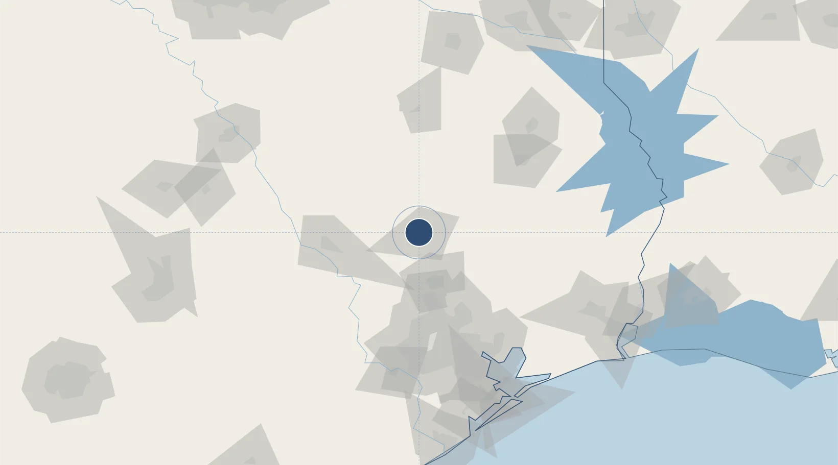
30.7469°, -95.5872°
5,005 ft
Longest runway
1
Runways
363 ft
Elevation

Runway & Layout

Huntsville Regional Airport runway & taxiway layout
Runway & taxiway layout — OpenStreetMap (ODbL) / OurAirports

Radio Frequencies

ASOS
119.425 MHz
CNTR
134.8 MHz
HOUSTON CNTR
RDO
122.3 MHz
MONTGOMERY CO RDO
UNIC
122.8 MHz
CTAF/UNICOM
OurAirports

Runways · 1

RunwayDimensions SurfaceTrue headingLit
18/36 5,005 × 100ft Asphalt 186°
OurAirports

Airport Specifications

IATA code
HTV
OurAirports
ICAO code
KUTS
OurAirports
Airport class
Medium airport
OurAirports
Scheduled service
No
OurAirports
Runway surface
Asphalt
OurAirports
Served city
Huntsville
OurAirports

Location

Location of KUTS
Natural Earth 10m (public domain) · Texas · KUTS · 30.75, -95.59GoogleOSMYandex

Nearby Logistics Neighbours

Airports
  1. 1Conroe-North Houston Regional Airport47 km
  2. 2Easterwood Field76 km
  3. 3George Bush Intercontinental Airport88 km
  4. 4Angelina County Airport96 km
  5. 5Sugar Land Regional Airport125 km
Nearest neighbours — logibook spatial index (haversine) over the source coordinates
Cities
  1. 1Montgomery42 km
  2. 2Lovelady44 km
  3. 3Normangee59 km
  4. 4Navasota62 km
  5. 5Shepherd63 km
Nearest neighbours — logibook spatial index (haversine) over the source coordinates
Ports
  1. 1Deer Park114 km
  2. 2Houston115 km
  3. 3Pasadena120 km
  4. 4Baytown125 km
  5. 5Beaumont162 km
Nearest neighbours — logibook spatial index (haversine) over the source coordinates
Trade Zones
  1. 1FTZ No. 171 Liberty County79 km
  2. 2FTZ No. 297 Lufkin99 km
  3. 3FTZ No. 084 Harris County109 km
  4. 4FTZ No. 115 Beaumont152 km
  5. 5FTZ No. 199 Texas City164 km
Nearest neighbours — logibook spatial index (haversine) over the source coordinates
DatabookThe Record of Consolidated Knowledge
United States beyond logistics?
Browse databook

All Sources

AirportsOurAirports
Public domain
Portsthe NGA World Port Index
Public domain (US gov)
LocationsUN/LOCODE
UN/LOCODE — free
Trade Zonesthe World Bank SEZ database
CC BY 4.0
Trade ZonesOpen Zone Map
CC BY
InfrastructureOpenStreetMap
ODbL 1.0
← United States airports