Large airport · United States

Hollywood Burbank AirportKBUR

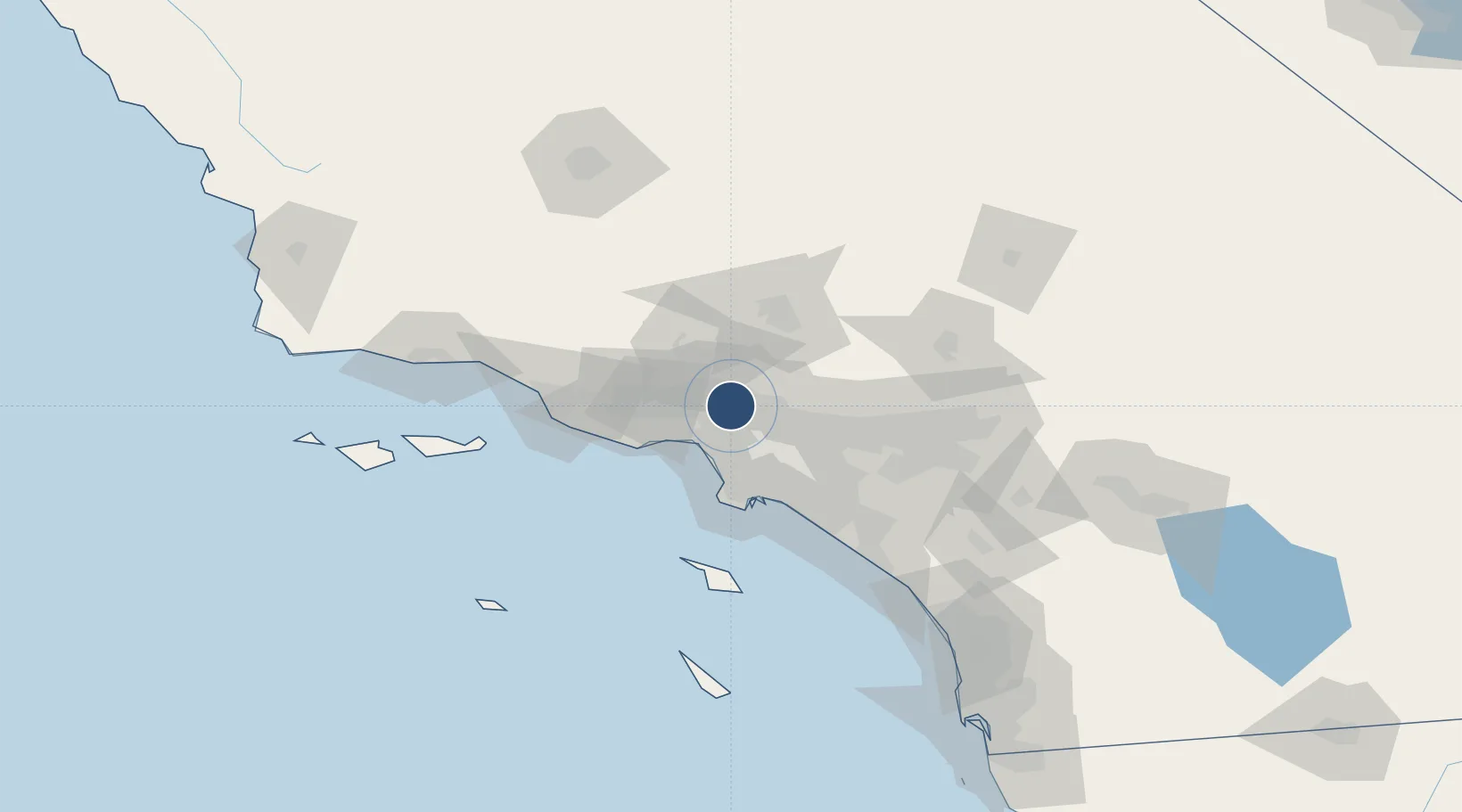
34.2028°, -118.3581°
6,886 ft
Longest runway
2
Runways
778 ft
Elevation

Runway & Layout

Hollywood Burbank Airport runway & taxiway layout
Runway & taxiway layout — OpenStreetMap (ODbL) / OurAirports

Radio Frequencies

ATIS
134.5 MHz
TWR
118.7 MHz
GND
123.9 MHz
CLD
118 MHz
CLNC DEL
A/D
120.4 MHz
SOCAL APP/DEP
RDO
122.35 MHz
HAWTHORNE RDO
UNIC
122.95 MHz
UNICOM
OurAirports

Runways · 2

RunwayDimensions SurfaceTrue headingLit
15/33 6,886 × 150ft Asphalt 167°
08/26 5,802 × 150ft Asphalt 091°
OurAirports

Airport Specifications

IATA code
BUR
OurAirports
ICAO code
KBUR
OurAirports
Airport class
Large airport
OurAirports
Scheduled service
Yes
OurAirports
Runway surface
Asphalt
OurAirports
Served city
Burbank
OurAirports

Location

Location of KBUR
Natural Earth 10m (public domain) · California · KBUR · 34.20, -118.36GoogleOSMYandex

Nearby Logistics Neighbours

Airports
  1. 1Van Nuys Airport12 km
  2. 2Santa Monica Municipal Airport23 km
  3. 3Los Angeles International Airport29 km
  4. 4Jack Northrop Field Hawthorne Municipal Airport31 km
  5. 5Long Beach International Airport47 km
Nearest neighbours — logibook spatial index (haversine) over the source coordinates
Cities
  1. 1North Hills12 km
  2. 2Vermont13 km
  3. 3Westwood18 km
  4. 4Newhall26 km
  5. 5Playa Vista27 km
Nearest neighbours — logibook spatial index (haversine) over the source coordinates
Ports
  1. 1El Segundo33 km
  2. 2Long Beach51 km
  3. 3Los Angeles51 km
  4. 4Port Hueneme78 km
  5. 5Newport Beach78 km
Nearest neighbours — logibook spatial index (haversine) over the source coordinates
Trade Zones
  1. 1FTZ No. 191 Palmdale47 km
  2. 2FTZ No. 050 Long Beach48 km
  3. 3FTZ No. 202 Los Angeles52 km
  4. 4FTZ No. 205 Port Hueneme78 km
  5. 5FTZ No. 243 Victorville100 km
Nearest neighbours — logibook spatial index (haversine) over the source coordinates
DatabookThe Record of Consolidated Knowledge
United States beyond logistics?
Browse databook

All Sources

AirportsOurAirports
Public domain
Portsthe NGA World Port Index
Public domain (US gov)
LocationsUN/LOCODE
UN/LOCODE — free
Trade Zonesthe World Bank SEZ database
CC BY 4.0
Trade ZonesOpen Zone Map
CC BY
InfrastructureOpenStreetMap
ODbL 1.0
← United States airports