Medium airport · Saudi Arabia

Al Qaisumah/Hafr Al Batin AirportOEPA
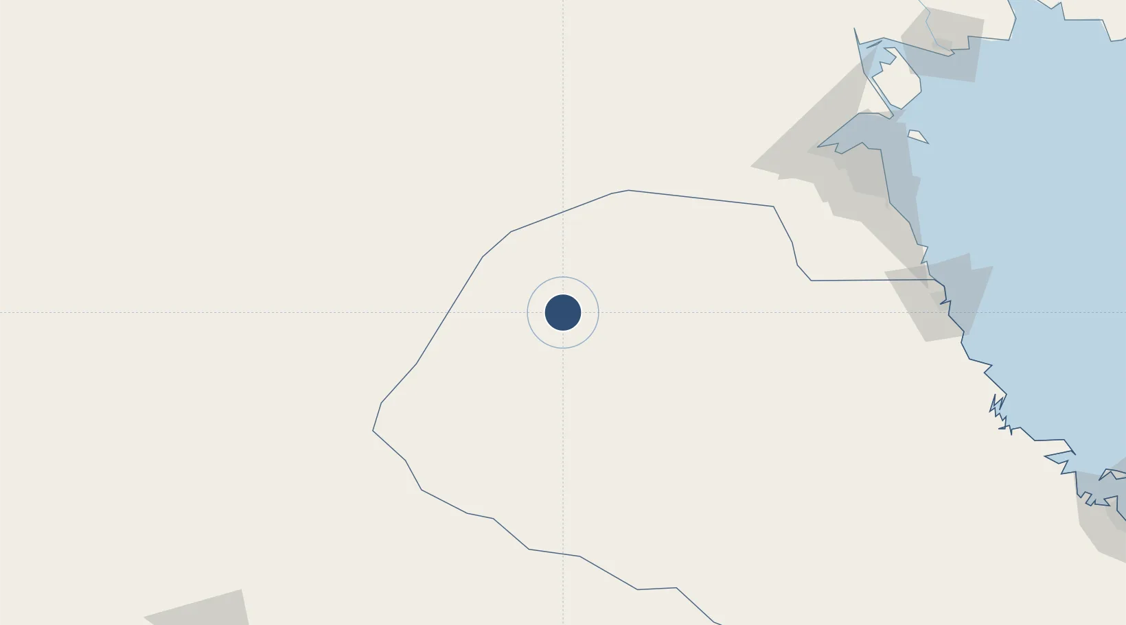
28.3352°, 46.1251°
10,007 ft
Longest runway
1
Runways
1,174 ft
Elevation

Runway & Layout

Al Qaisumah/Hafr Al Batin Airport runway & taxiway layout
Runway & taxiway layout — OpenStreetMap (ODbL) / OurAirports

Radio Frequencies

CTAF
122.8 MHz
MISC
133.5 MHz
CRASH SVC
OurAirports

Navaids

HFR VORTAC Hafr Al-Batin 113.10 MHz
OurAirports

Runways · 1

RunwayDimensions SurfaceTrue headingLit
16/34 10,007 × 148ft Asphalt 158°
OurAirports

Airport Specifications

IATA code
AQI
OurAirports
ICAO code
OEPA
OurAirports
Airport class
Medium airport
OurAirports
Scheduled service
Yes
OurAirports
Runway surface
Asphalt
OurAirports
Served city
Qaisumah
OurAirports

Location

Location of OEPA
Natural Earth 10m (public domain) · Ash Sharqiyah · OEPA · 28.34, 46.13GoogleOSMYandex

Nearby Logistics Neighbours

Airports
  1. 1King Khaled Military City Airport76 km
  2. 2Ali Al Salem Air Base176 km
  3. 3Ahmed Al Jaber Air Base176 km
  4. 4Kuwait International Airport205 km
  5. 5Ras Mishab Airport245 km
Nearest neighbours — logibook spatial index (haversine) over the source coordinates
Cities
  1. 1Doha201 km
  2. 2Ahmadi208 km
  3. 3Shuwaikh208 km
  4. 4Kaifan211 km
  5. 5Shuaiba211 km
Nearest neighbours — logibook spatial index (haversine) over the source coordinates
Ports
  1. 1Doha Harbor201 km
  2. 2Al Kuwayt209 km
  3. 3Mina Abd Allah213 km
  4. 4Mina Ash Shuaybah214 km
  5. 5Mina Al Ahmadi215 km
Nearest neighbours — logibook spatial index (haversine) over the source coordinates
Trade Zones
  1. 1Hafar Al-Batin Industrial City23 km
  2. 2Al Naim (Al Shegaya) Free Economic Zone188 km
  3. 3Al Wafra Free Economic Zone189 km
  4. 4Kuwait Free Trade Zone207 km
  5. 5Al Abdali Free Economic Zone229 km
Nearest neighbours — logibook spatial index (haversine) over the source coordinates
DatabookThe Record of Consolidated Knowledge
Saudi Arabia beyond logistics?
Browse databook

All Sources

AirportsOurAirports
Public domain
Portsthe NGA World Port Index
Public domain (US gov)
LocationsUN/LOCODE
UN/LOCODE — free
Trade Zonesthe World Bank SEZ database
CC BY 4.0
Trade ZonesOpen Zone Map
CC BY
InfrastructureOpenStreetMap
ODbL 1.0
← Saudi Arabia airports