Medium airport · Saudi Arabia

King Khaled Military City AirportOEKK
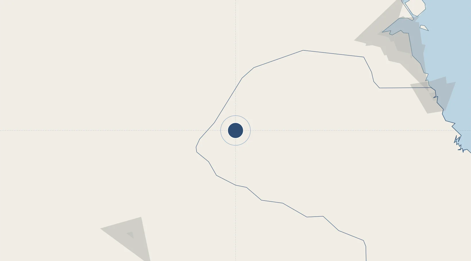
27.9009°, 45.5282°
12,005 ft
Longest runway
1
Runways
1,352 ft
Elevation

Runway & Layout

King Khaled Military City Airport runway & taxiway layout
Runway & taxiway layout — OpenStreetMap (ODbL) / OurAirports

Radio Frequencies

ATIS
127.6 MHz
GND
121.6 MHz
CTAF
122.8 MHz
AFIS
120.7 MHz
INFO
EMR
133.5 MHz
FIRE RESCUE SVC
OurAirports

Navaids

KMC VORTAC King Khaled Military City 115.90 MHz
OurAirports

Runways · 1

RunwayDimensions SurfaceTrue headingLit
13/31 12,005 × 148ft Asphalt 130°
OurAirports

Airport Specifications

IATA code
KMC
OurAirports
ICAO code
OEKK
OurAirports
Airport class
Medium airport
OurAirports
Scheduled service
Yes
OurAirports
Runway surface
Asphalt
OurAirports
Served city
King Khaled Military City
OurAirports

Location

Location of OEKK
Natural Earth 10m (public domain) · Ash Sharqiyah · OEKK · 27.90, 45.53GoogleOSMYandex

Nearby Logistics Neighbours

Airports
  1. 1Al Qaisumah/Hafr Al Batin Airport76 km
  2. 2Prince Naif bin Abdulaziz International Airport248 km
  3. 3Ahmed Al Jaber Air Base249 km
  4. 4Ali Al Salem Air Base252 km
  5. 5Rafha Domestic Airport276 km
Nearest neighbours — logibook spatial index (haversine) over the source coordinates
Cities
  1. 1Buraydah234 km
  2. 2Doha276 km
  3. 3Ahmadi281 km
  4. 4Shuwaikh283 km
  5. 5Shuaiba285 km
Nearest neighbours — logibook spatial index (haversine) over the source coordinates
Ports
  1. 1Doha Harbor276 km
  2. 2Al Kuwayt285 km
  3. 3Mina Abd Allah286 km
  4. 4Mina Ash Shuaybah287 km
  5. 5Mina Al Ahmadi289 km
Nearest neighbours — logibook spatial index (haversine) over the source coordinates
Trade Zones
  1. 1Hafar Al-Batin Industrial City86 km
  2. 2Al-Zulfi Industrial City191 km
  3. 3Qassim Industrial City (Second)233 km
  4. 4Qassim Modon Oasis237 km
  5. 5Qassim Industrial City (First)238 km
Nearest neighbours — logibook spatial index (haversine) over the source coordinates
DatabookThe Record of Consolidated Knowledge
Saudi Arabia beyond logistics?
Browse databook

All Sources

AirportsOurAirports
Public domain
Portsthe NGA World Port Index
Public domain (US gov)
LocationsUN/LOCODE
UN/LOCODE — free
Trade Zonesthe World Bank SEZ database
CC BY 4.0
Trade ZonesOpen Zone Map
CC BY
InfrastructureOpenStreetMap
ODbL 1.0
← Saudi Arabia airports