Free Trade Zone · Saudi Arabia

Al-Zulfi Industrial City Active
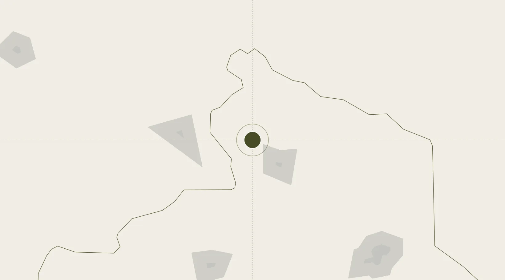
26.2590°, 44.9699°
1,800 ha
Zone area
417.0 km
Nearest port
119.3 km
Nearest airport

Gateway access

Nearest neighbours — logibook spatial index (haversine) over the source coordinates

Zone profile

Zone type
Free Trade Zone
Open Zone Map
Region
Ar Riyad
Open Zone Map
Status
Active
Open Zone Map
Management
Public
Open Zone Map
Operator
Saudi Authority for Industrial Estates and Technology Zones
Open Zone Map
Legal framework
Ministerial Legislation No. 235 dated 27/8/1422H
Open Zone Map

Location

Location of ozm-4084
Natural Earth 10m (public domain) · Ar Riyad · ozm-4084 · 26.26, 44.97GoogleOSMYandex

Nearby Logistics Neighbours

Ports
  1. 1Ras Al Mishab417 km
  2. 2Ras Al Khafji431 km
  3. 3Mina Az Zawr436 km
  4. 4Mina Abd Allah440 km
  5. 5Mina Ash Shuaybah441 km
Nearest neighbours — logibook spatial index (haversine) over the source coordinates
Airports
  1. 1Prince Naif bin Abdulaziz International Airport119 km
  2. 2King Khaled Military City Airport191 km
  3. 3Dawadmi Domestic Airport219 km
  4. 4King Khalid International Airport226 km
  5. 5Al Qaisumah/Hafr Al Batin Airport258 km
Nearest neighbours — logibook spatial index (haversine) over the source coordinates
Cities
  1. 1Buraydah100 km
  2. 2Riyadh Dry Port255 km
  3. 3Mina Al Zour435 km
  4. 4Ahmadi438 km
  5. 5Mina' 'Abd Allah440 km
Nearest neighbours — logibook spatial index (haversine) over the source coordinates
Trade Zones
  1. 1Qassim Industrial City (Second)84 km
  2. 2Qassim Industrial City (First)93 km
  3. 3Qassim Modon Oasis96 km
  4. 4Sudair Industrial City107 km
  5. 5Shaqraa Industrial City116 km
Nearest neighbours — logibook spatial index (haversine) over the source coordinates
DatabookThe Record of Consolidated Knowledge
Saudi Arabia beyond logistics?
Browse databook

All Sources

Trade ZonesOpen Zone Map
CC BY
Portsthe NGA World Port Index
Public domain (US gov)
AirportsOurAirports
Public domain
LocationsUN/LOCODE
UN/LOCODE — free
← Saudi Arabia trade zones