UN/LOCODE hub · Kuwait
KWDOH

Doha

29.3833°, 47.8000°
1
Transport functions

Transport Functions

Port
Doha is also a profiled seaport →
UN/LOCODE

Hub Profile

Region
KU
GeoNames

Location

Location of KWDOH
Natural Earth 10m (public domain) · KU · KWDOH · 29.38, 47.80GoogleOSMYandex

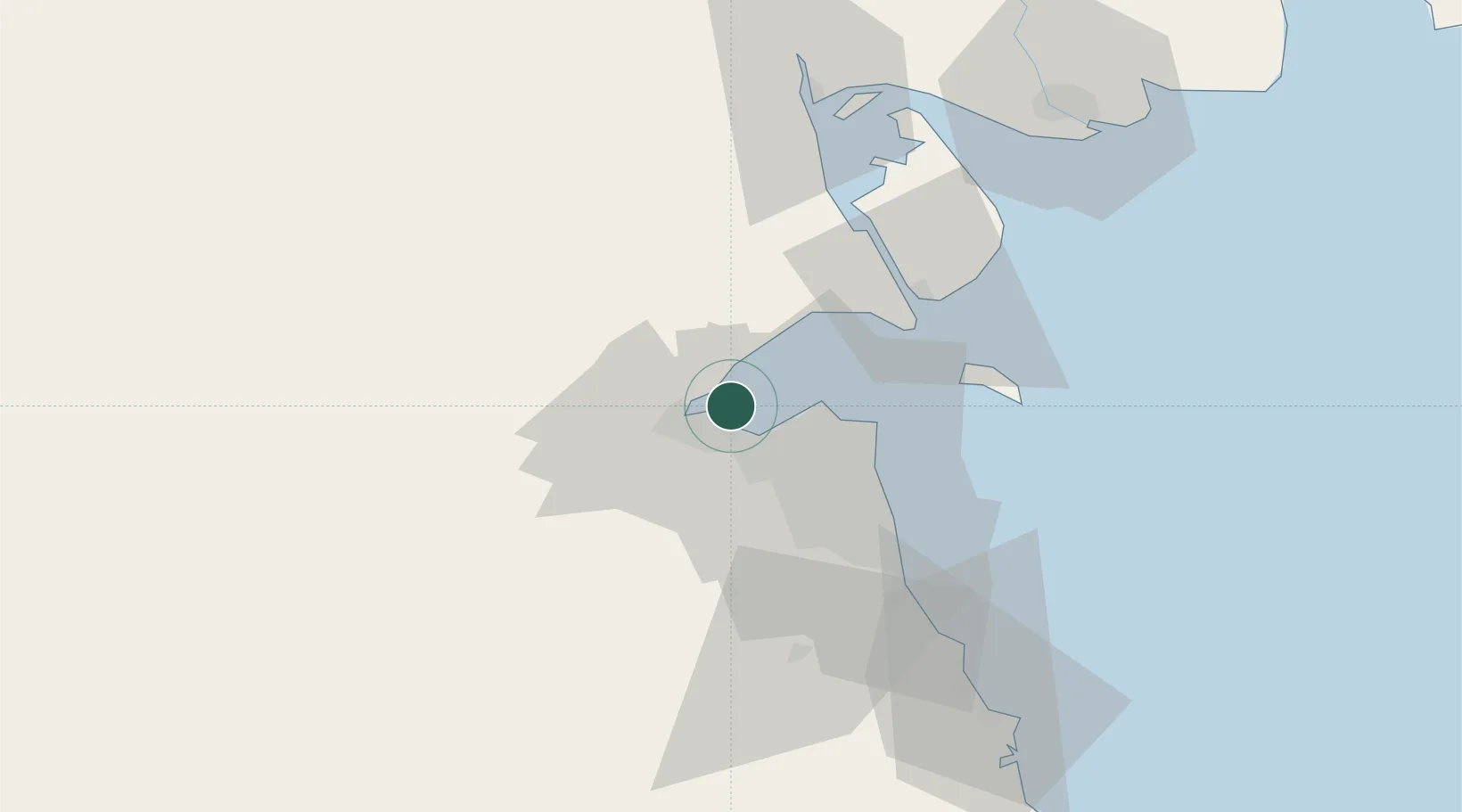
Nearby Logistics Neighbours

Cities
  1. 1Shuwaikh12 km
  2. 2Kaifan17 km
  3. 3Awalli22 km
  4. 4Ra's al Ard28 km
  5. 5As Salimiyah28 km
Nearest neighbours — logibook spatial index (haversine) over the source coordinates
Ports
  1. 1Al Kuwayt13 km
  2. 2Mina Al Ahmadi50 km
  3. 3Mina Ash Shuaybah53 km
  4. 4Mina Abd Allah54 km
  5. 5Umm Qasr72 km
Nearest neighbours — logibook spatial index (haversine) over the source coordinates
Airports
  1. 1Kuwait International Airport24 km
  2. 2Ali Al Salem Air Base28 km
  3. 3Ahmed Al Jaber Air Base50 km
  4. 4Abadan Ayatollah Jami International Airport117 km
  5. 5Basra International Airport130 km
Nearest neighbours — logibook spatial index (haversine) over the source coordinates
Trade Zones
  1. 1Kuwait Free Trade Zone11 km
  2. 2Al Naim (Al Shegaya) Free Economic Zone12 km
  3. 3Al Abdali Free Economic Zone72 km
  4. 4Al Wafra Free Economic Zone90 km
  5. 5Arvand Trade Industrial Free Zone119 km
Nearest neighbours — logibook spatial index (haversine) over the source coordinates
DatabookThe Record of Consolidated Knowledge
Kuwait beyond logistics?
Browse databook

All Sources

LocationsUN/LOCODE
UN/LOCODE — free
Portsthe NGA World Port Index
Public domain (US gov)
AirportsOurAirports
Public domain
Trade Zonesthe World Bank SEZ database
CC BY 4.0
Trade ZonesOpen Zone Map
CC BY
← Kuwait locations