UN/LOCODE hub · Indonesia
IDWAN

Wanam

-7.5500°, 139.1000°
1
Transport functions

Transport Functions

Port
UN/LOCODE

Hub Profile

Region
PB
GeoNames

Location

Location of IDWAN
Natural Earth 10m (public domain) · PB · IDWAN · -7.55, 139.10GoogleOSMYandex

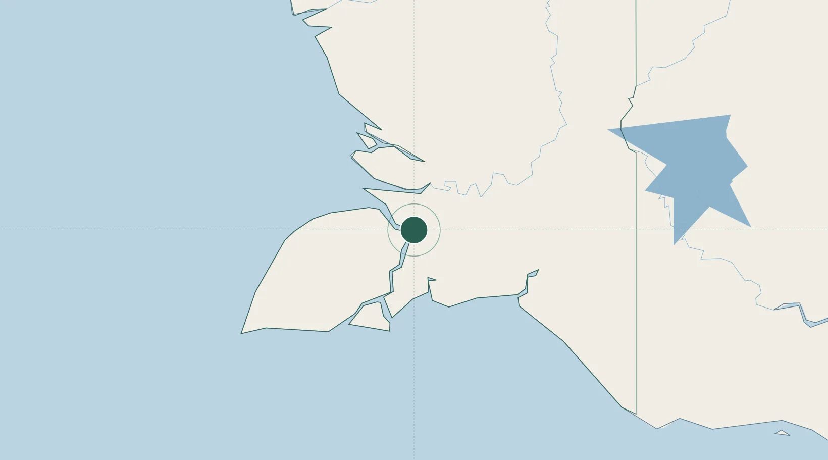
Nearby Logistics Neighbours

Cities
  1. 1Kassue64 km
  2. 2Asike176 km
  3. 3Aiambak240 km
  4. 4Boigu Island392 km
  5. 5Pomako400 km
Nearest neighbours — logibook spatial index (haversine) over the source coordinates
Ports
  1. 1Merauke175 km
  2. 2Amamapare385 km
  3. 3Thursday Island481 km
  4. 4Daru482 km
  5. 5Gove580 km
Nearest neighbours — logibook spatial index (haversine) over the source coordinates
Airports
  1. 1Mopah International Airport181 km
  2. 2Tanah Merah Airport209 km
  3. 3Bosset Airport224 km
  4. 4Obo Airport245 km
  5. 5Lake Murray Airport271 km
Nearest neighbours — logibook spatial index (haversine) over the source coordinates
Trade Zones
  1. 1Western Province Special Economic Zone131 km
  2. 2Sandaun Special Economic Zone445 km
  3. 3Sepik Special Economic Zone477 km
  4. 4Vanimo Special Economic Zone592 km
  5. 5Ihu Special Economic Zone694 km
Nearest neighbours — logibook spatial index (haversine) over the source coordinates
DatabookThe Record of Consolidated Knowledge
Indonesia beyond logistics?
Browse databook

All Sources

LocationsUN/LOCODE
UN/LOCODE — free
Portsthe NGA World Port Index
Public domain (US gov)
AirportsOurAirports
Public domain
Trade Zonesthe World Bank SEZ database
CC BY 4.0
Trade ZonesOpen Zone Map
CC BY
← Indonesia locations